
 1) made it to the Alaskan border and now time to head back …
As its name implies, the Top of the World Highway, runs along the edges of several mountain ridges from Dawson City to a wee place called Boulder in Alaska. It is one of the most northerly highways in the world – the Dempster Highway and Dalton Highway are further north – and is only accessible during the summer months. It stretches about 127-kilometres and is pretty much a dirt road for its entire Yukon length. Portions in Alaska are, as of this year, now paved.
We were excited to drive this road as it takes one to the most westerly point/border in Canada, complete with a tiny Canada-US border crossing even. We were keen to add visiting the most westerly point in Canada to our list having already accomplished a visit to the most easterly point in Canada – Cape Spear in Newfoundland (see here) and the most southerly point in Canada – Pelee Island in Ontario (see here). Next up, the most northerly point in the contiguous part of Canada.
 2) here’s the highway’s history
 3) waiting on the ferry to arrive
 4) here she comes
 5) on the ferry crossing the Klondike
 6) this is the start of the Top of the World Highway!?
 7) the views are gorgeous … you can see the road way off in the distance at the top of the mountain
 8) so pretty
 9) the road is dirt/gravel pretty much 95% of the way
 10) papa’s happy to be on top of the world on the Top of the World Highway
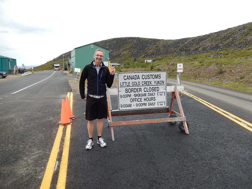 11) here’s the border
 12) time to change your watch to Alaskan Time
 13) we’re glad to have taken the drive to this the most westerly point in Canada
 14) congrats … that’s 3 of the 4 cardinal directions done!
 15) heading back to Dawson City … look at that road!

You must be logged in to post a comment.