Last week I wrote about development trends in Vancouver and the Moving Through walking tours arranged Museum of Vancouver (MOV) as part of their Not an Architectural Speaker’s Series. As promised, here’s a little more about Moving Through.
Three different mini-walks took place in the morning, with a wrap-up discussion for everyone afterward. One walk focused on the role of the viaducts in the evolution of downtown Vancouver, another (using Commercial/Broadway station as a jumping off point) explored the role of transit hubs in shaping the city and the third looked at the impact the Cambie Line has had on those neighbourhoods’ development.
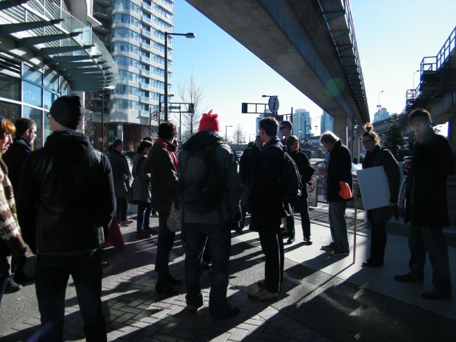
I chose the first walk, which was called “The Path(s) Not Taken: Viaducts, Expressways, and Almost Vancouvers.” The walk was led by architect Michael Green, one of the instigators of MOV’s Not an Architectural Speaker’s Series, along with Brandon Yan and Demian Rueter of Vancouver Public Space Network .
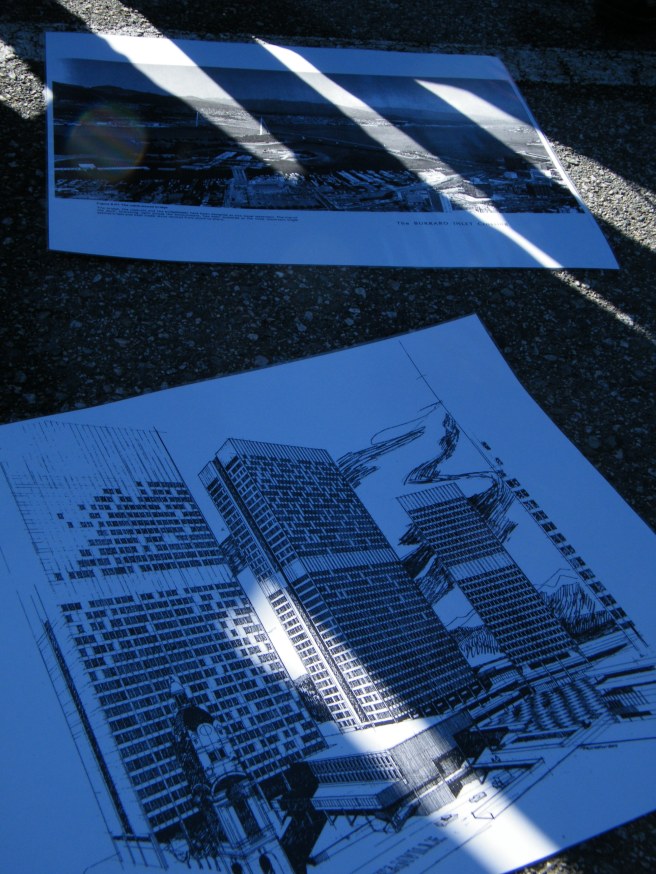
This walk started underneath the viaducts, near the stadiums downtown. The viaducts were built in anticipation of a larger freeway network that was planned in the 1950s and 1960s. A thriving black community, Hogan’s Alley, was destroyed to make way for the viaducts. Project 200 would have also razed Chinatown and Gastown and replaced them with (mainly) office towers. Brandon and Demian of VPSN showed us artists’ renderings of what might have existed if the plans had gone through, then as we toured the neighbourhood, our hosts led a discussion on how Vancouver has developed, what might have been and the changes that are on the horizon. We were supposed to move through Chinatown, the Downtown Eastside and Gastown, ending at Granville Square (the only Project 200 building that was actually erected). The discussions were too interesting, so we only got as far as Gastown.
As we walked through Chinatown, Michael Green discussed the ways in which the heritage low-rise buildings interact with the street, which many newer buildings don’t successfully achieve. He spoke about the architectural challenge of making the street usable, active space, rather than being solely concerned with what happens inside buildings.
Green also pointed out that the stadiums and viaducts have acted as a physical barrier to density moving east. There is talk of removing one or both viaducts, which will open up space for more development and erase any clear density boundary between downtown and the eastern neighbourhoods. Near the end of our walk, in Gastown, Green discussed the neighbourhood’s mix of social housing and social services co-existing with market housing and mid to upscale business.
This walk illustrated the tensions between planning departments, developers and existing neighbourhoods. It also brought up a number of questions:
What makes a successful neighbourhood?
What role should citizens have in neighbourhood development and preservation?
What are the criteria local governments should follow when redeveloping existing neighbourhoods?
I have one more post for you on this subject. I’ll be posting a short piece about the wrap up discussion after the walks.


It sounds like it was a really interesting tour. Thought provoking questions as well.
It was an interesting tour and very heartening to see that planners and architects in this city are engaging with these topics in ways outside the residential tower model. I’m looking forward to the next stage of MOV’s project, which involves setting up kiosks around the city for people to answer open-ended questions about some of these ideas.