
I was relieved that I slept all night in the camping pod at Lochranza campsite. We booked a third night as well, so our accommodation was sorted.
Our plan today was to drive to Blackwaterfoot, leave the car, catch the early bus back to Imachar and start our walk from there. It would be such a relief to have the car at our finish point for a change.
Anne’s daughter was arriving on the island today for her first time, so we planned to drive back to the Lochranza campsite via Corrie and drop Anne off at her cottage.
Day 4 – Imachar to Blackwaterfoot (14.5 km/9 miles)
My Garmin recorded 20.6 km/12.8 miles
Arran Coastal Way Website – Imachar to Blackwaterfoot
Anne arrived at our campsite by bus around 8.45am. We quickly jumped in the car hoping to reach Blackwaterfoot to catch the 9.15am bus. If we missed this bus the next one to Imachar was 12.07pm, so we really needed to get there on time!
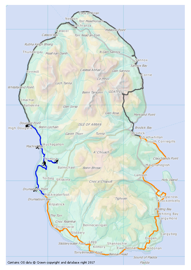
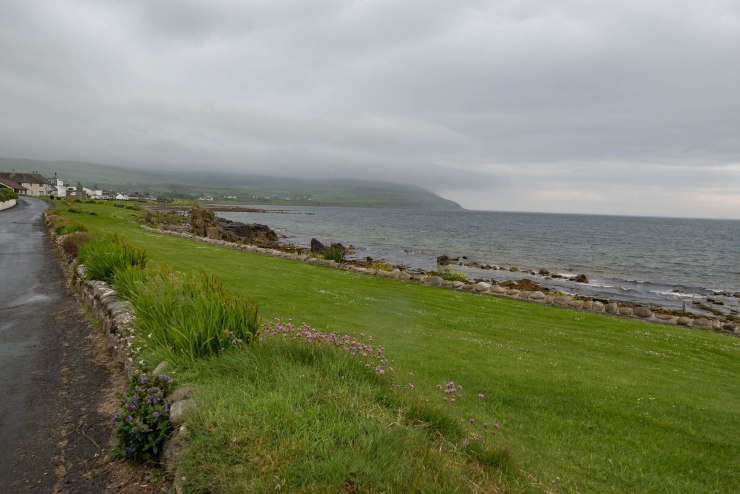
The road to Blackwaterfoot was like a rollercoaster. We were stuck behind a tractor for a short while. A mother duck with her ducklings in tow decided to cross the road … we would never make this bus in time I thought. I could see the bus sitting at the Kinloch Hotel as we drove into the car park. We quickly jumped out and caught the attention of the driver who kindly waited for us. Relief all round I think!
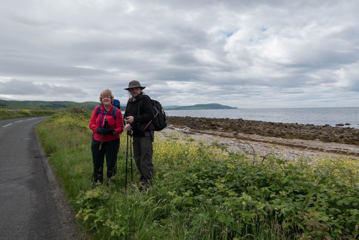
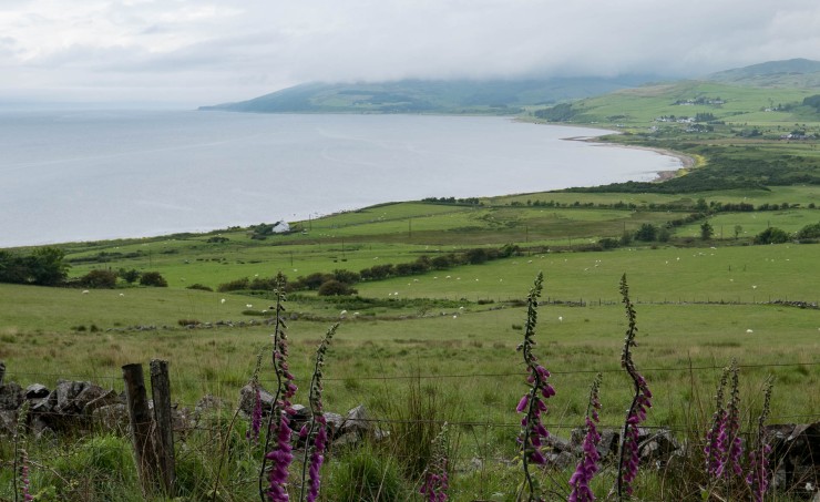
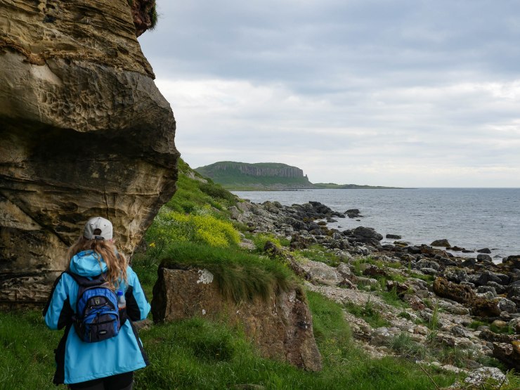
We started nearer Dougarie as we’d walked further the day before. As I admired the coastline, our day’s walk panned out right in front of my eyes. It was time to hit the road again!
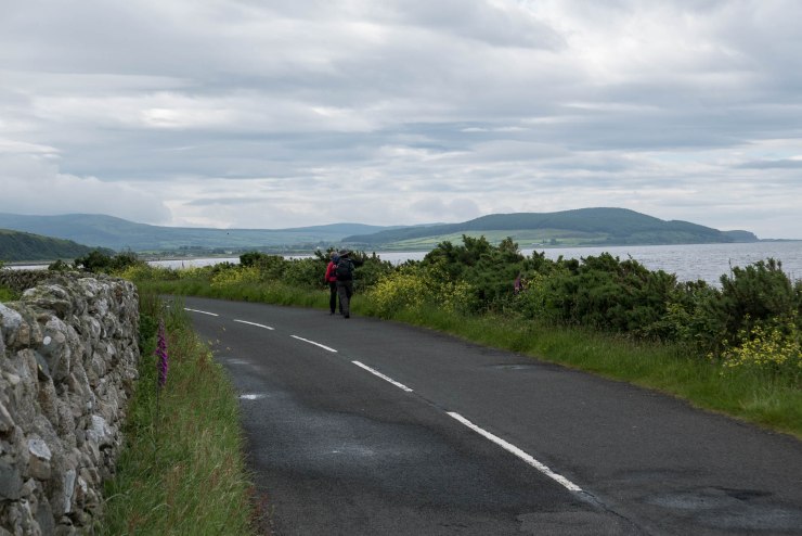
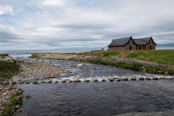
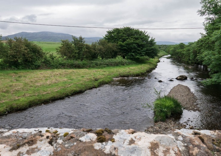
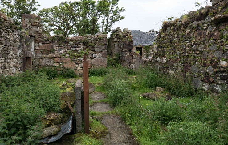
We walked through Dougarie over this most amazing bridge. Even though I’ve driven right round the island I’ve never noticed this before. I suppose when you’re driving it’s easy to miss this.
I stood on the bridge and looked back at the boathouse. It was a picture just waiting to be taken.
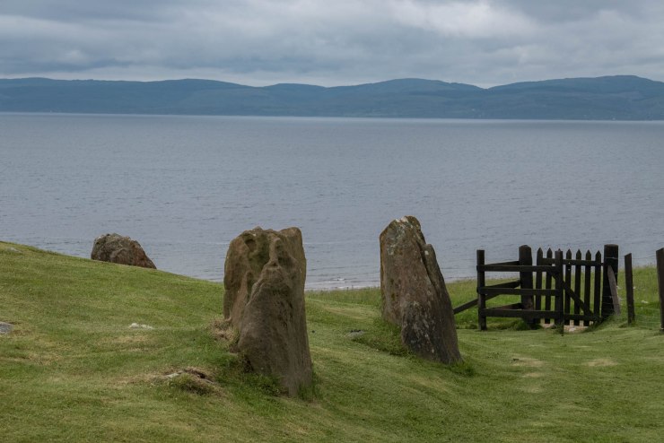
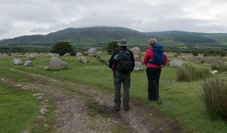
I read about a stone circle called Auchagallon and wanted to visit as I’d never been before. We couldn’t see a signpost from the main road. Between Dougarie and Machrie there’s a junction that takes you off the main road, then you see the sign for Auchagallon.
After a short uphill walk we reached a grass covered cairn surrounded by 14 stones overlooking the Kilbrannan Sound and Mull of Kintyre. Auchagallon means “field of the standing stones” in Gaelic. It’s believed someone of importance was buried here 4000 years ago. I wonder how deep the stones are?
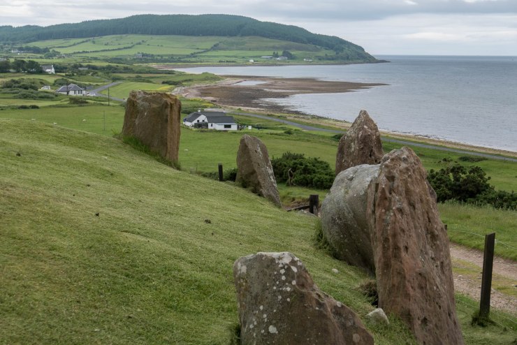
Looking back at these photos I now see the trees ahead where we walked later to the King’s Cave! I just love that our route is visible from all angles. You’ll see us looking back from the trees later … no time travelling stones to get there quickly though, we had to walk the old fashioned way, didn’t we Anne 😉.
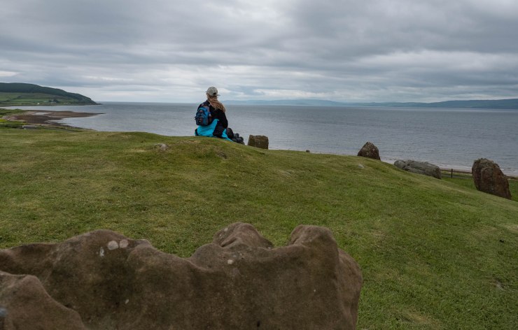
A quick photo snap then we had to go. I wish I could have sat here for longer but we still had a long way to walk. I’ll definitely return soon.
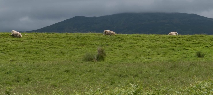
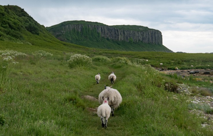
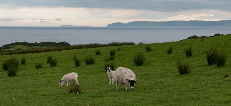
It was back to the road and passing sheep relaxing on their hillside. They live in such a beautiful natural place.
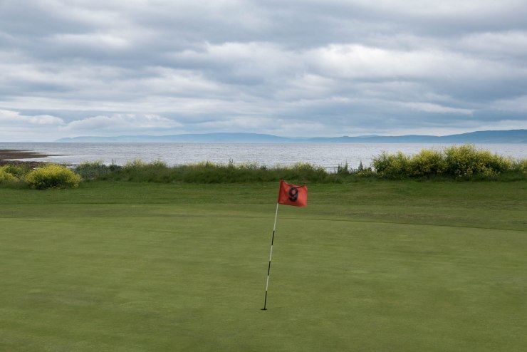
When we walked past the coastal golf course at Machrie there was number nine again, our wedding day. So many coincidences here! If I ever get into golf, this island is the place I would play.
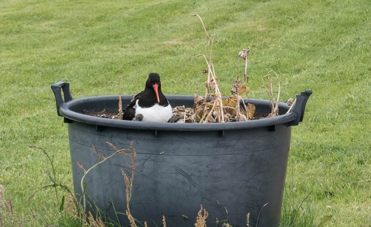
Remember the Oyster Catchers we saw on day two, Sannox to Lochranza, well here was another one outside the Machrie Bay Tearoom in a plant pot with her little ones. She was calling out to her young to stay still.
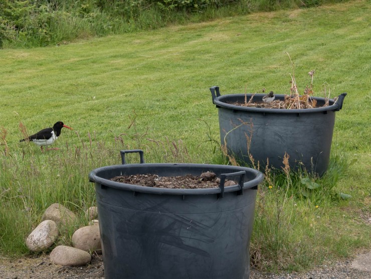
Then she jumped into the pot to protect them. So cute!
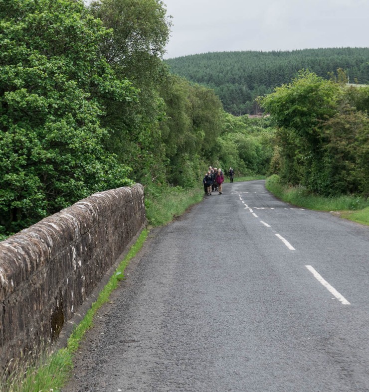
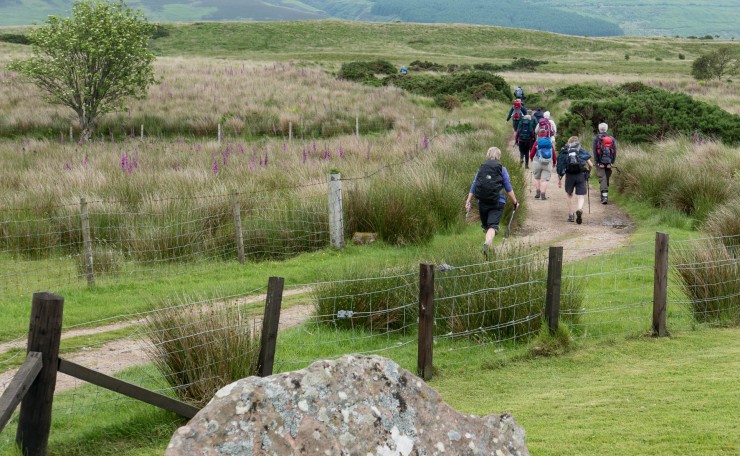
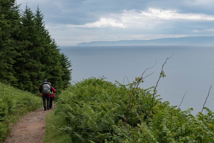
While we were walking today we saw the Cardiff Ramblers behind us. They were catching up with us again!
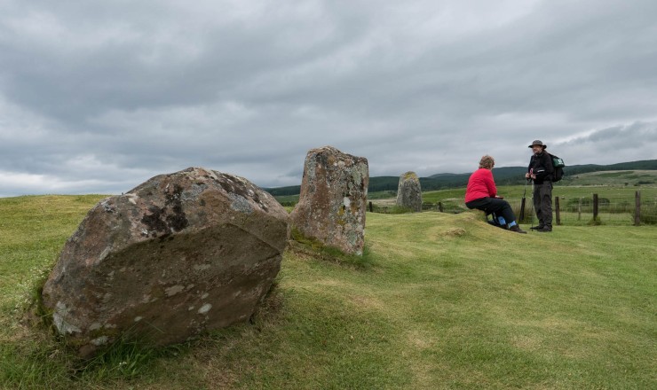
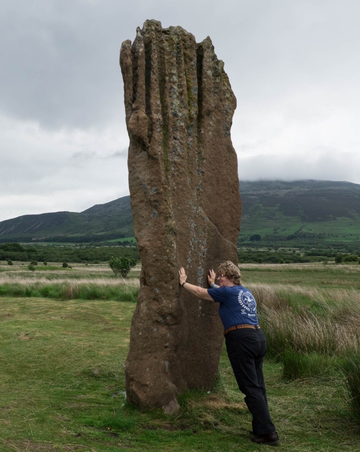
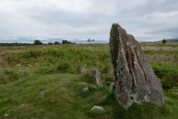
We were taking a short detour to the Machrie Standing Stones. Anne and myself are big Outlander fans, so to see real standing stones in Scotland is what we love. This was Anne’s first visit and I was really excited to take her there.
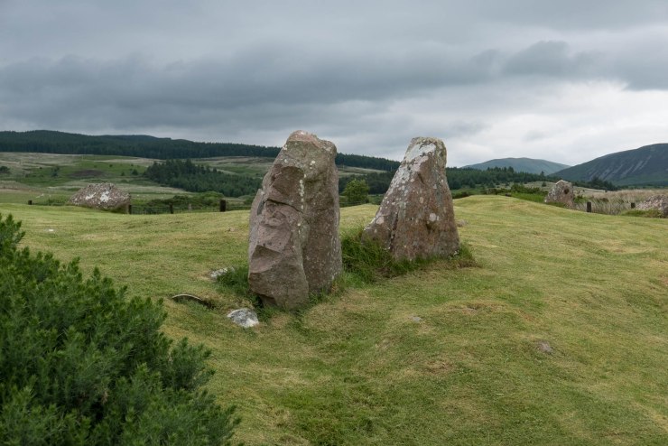
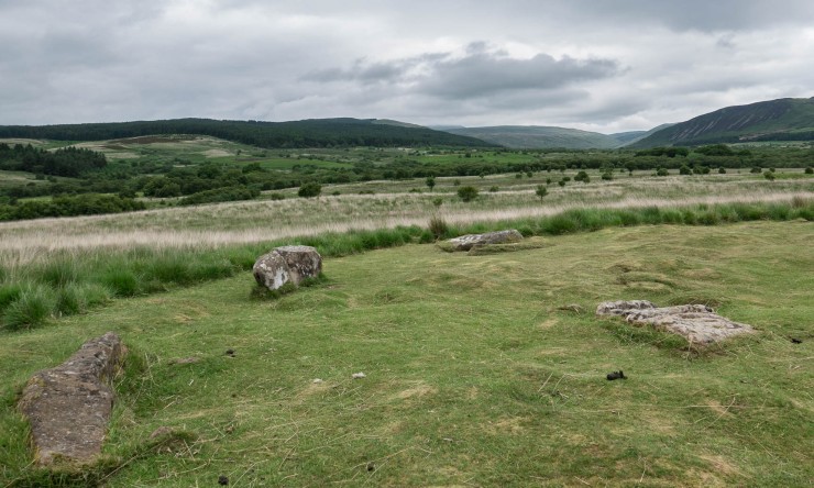
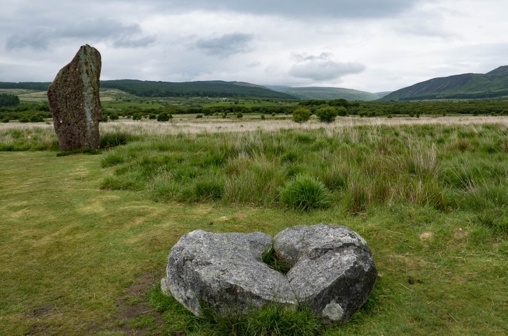
One of the first stone circles is very similar to Auchagallon. This was the Moss Farm Road stone circle. It’s also thought that someone of importance was buried here over 4000 years ago.
We sat there for a little while as people came and went. It was busy so I waited patiently to take my photos.
The Cardiff Ramblers arrived and said hello again, then they moved on fairly quickly down the moor.
There are many small stone circles around the moor. There’s so much to see, especially if you like taking time to soak in the atmosphere and imagine the history around you.
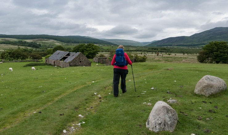
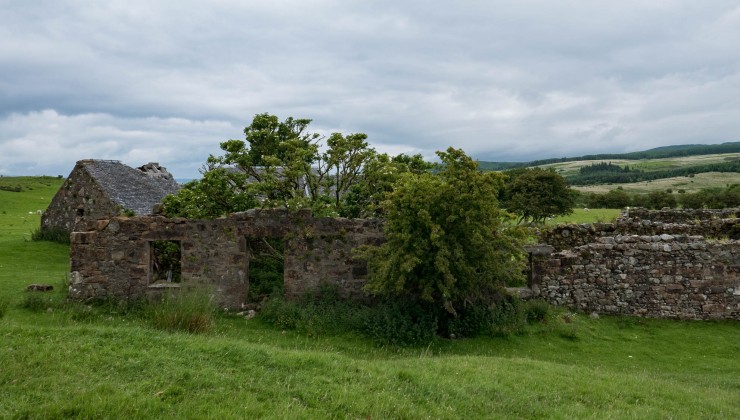
We walked past the old Moss Farm ruins where we would see the larger standing stones. From a distance, they don’t look very tall, but just wait until you’re standing beside them. The tallest stone is around eighteen feet!
There’s an information board about the stone circles. The first words I noticed were “A Special Place”.
I can imagine it was and still is. We were standing in a sacred landscape full of history including family life, rituals and burials.
Timber circles were built here around 2500 BC, but these decayed over time. Five hundred years later stone circles were built and burials also took place here. From around 2000BC our ancestors worked and lived here in wood or stone round houses, farming the land. By 700BC the settlements would be abandoned.
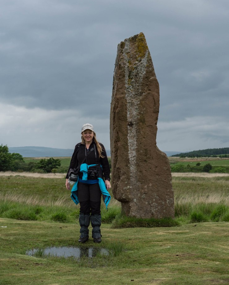
We walked over to the single standing stone first and Anne enjoyed her Outlander moment touching the stone. Thousands of years the rain has shaped the stone to make it look ragged. I do wonder what it looked like when it was built. Was it a cuboid block?
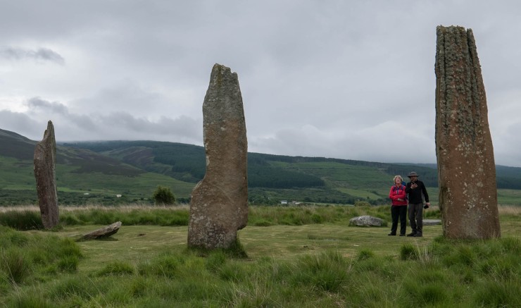
More tall standing stones formed part of a circle here but they were gone now. You can see the remains fixed into the ground. I often wonder how deep they are buried. Where did the stones go?
We walked on towards the three stones further down the moor. Alan and I held back a bit though just to give Anne some time alone to enjoy her first experience walking into the stone circle. There may only be three stones but you still feel the circle around you.
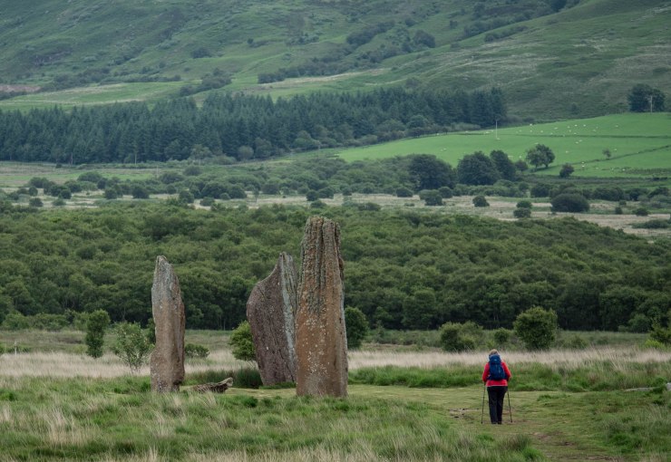
Even though it’s not known how the stone circles were used, it’s thought that an important ceremony may have taken place here at midsummer sunrise.
I did think about jumping in this puddle, I was getting used to having wet feet. I wondered how deep it was so I picked up a long piece of grass to try and measure it. It was about ankle deep. Little did I know that when we took our wedding photos here the puddle looked like a love heart from above 💖
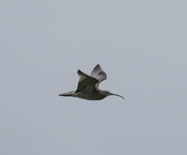
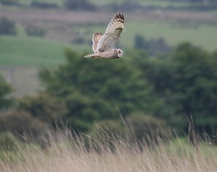
We sat on the Millstone for a little while and watched some unusual birds flying around the moor. Alan changed the lens on his camera and captured a few photos of a Curlew and a Short Eared Owl.
Even though we wanted to stay longer, it was time to head back to the road, our journey was still not finished. On the way back we quickly walked through the old Moss Farm ruins. Anne was on a secret mission that I later found out about at the end of our challenge … I’ll let you know what it was on day seven!
On the path back we noticed a stile and grassy path to what looked like a chambered cairn. In all the times we’d visited here, this was the first time we’d noticed this. It looks like a grave with beautiful sea view.
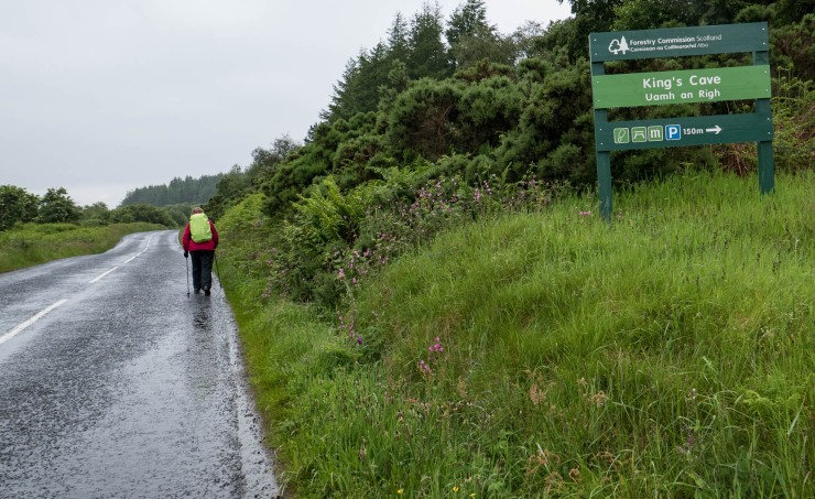
Then we reached the road and the rain came back on. We didn’t have far to walk until we reached the start point for the King’s Cave.
The pine woodlands were dark and so quiet. I was wishing I had my white wedding dress on and I could pretend to be a fairy hiding the woods … it would have been a great photo! We did think about coming back to do this.
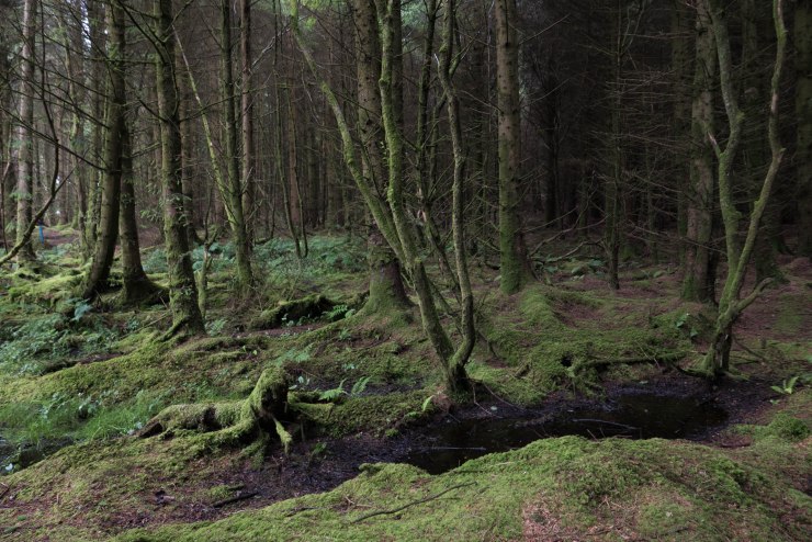
The woodlands provided shelter from the rain and the path was good. Remember I said earlier we’d be walking up in the woodlands later. This was us looking back towards Machrie, Auchagallon, Dougarie and Imachar Point.
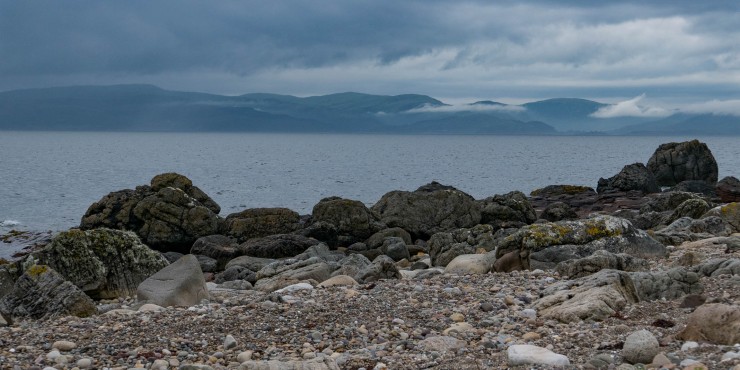
The path started to go down towards the coast, with hazy views across to the Mull of Kintyre.
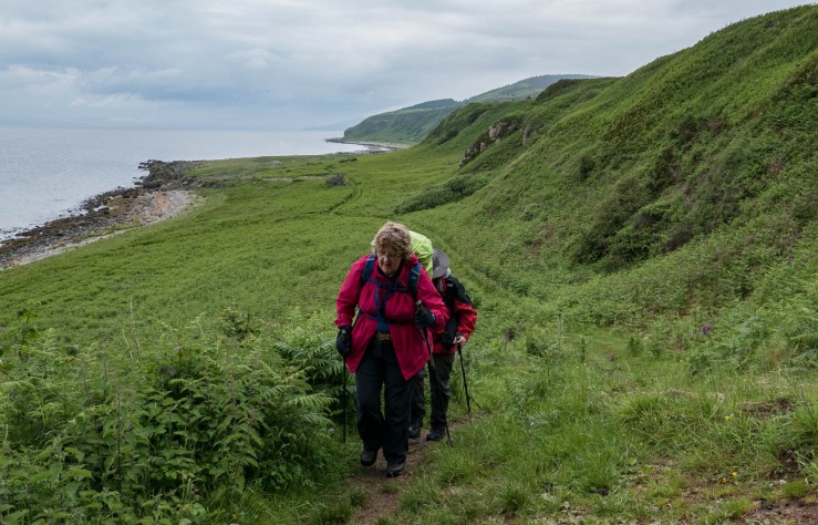
Yet again, the coastline was stunning and even the sun shone for a little while.
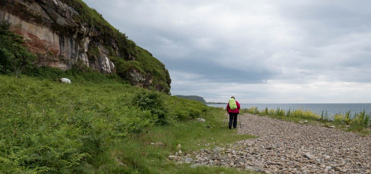
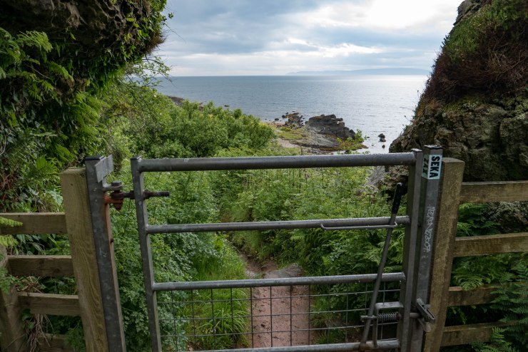
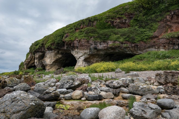
We reached the entrance of the King’s Cave quite quickly. When you approach the caves from this path you don’t really get to see how impressive they are.
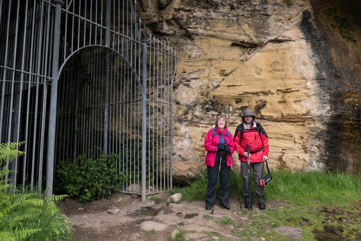
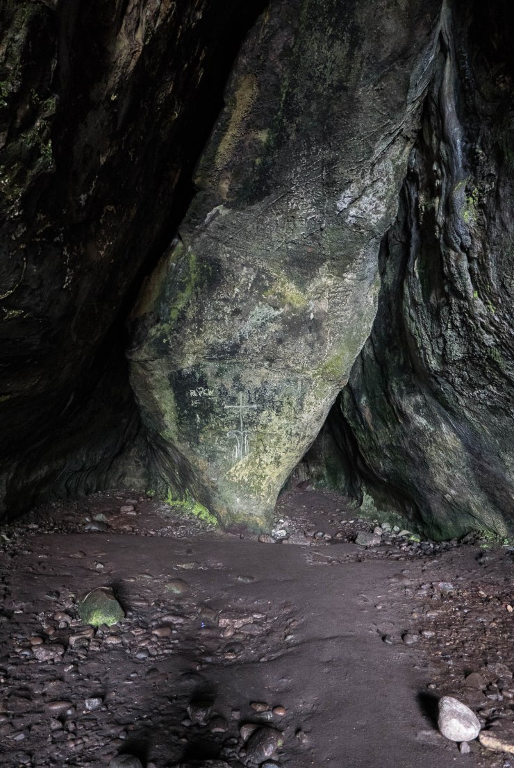
I entered the cave and this time I had my head torch with me. The information sign at the beginning of the walk said that for nearly two thousand years the King’s Cave has been used for ceremonies and gatherings with clues etched into the walls. I could see different markings on the walls, but to be honest I couldn’t tell what was authentic and what wasn’t.
Two hundred years ago the cave was known at Fingal’s Cave, but now linked to King Robert the Bruce’s visit to Arran in 1307.
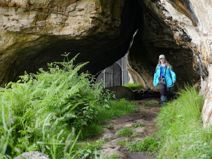
To really see the impressive geology of the caves you need to walk towards the sea and then look back. Wow!
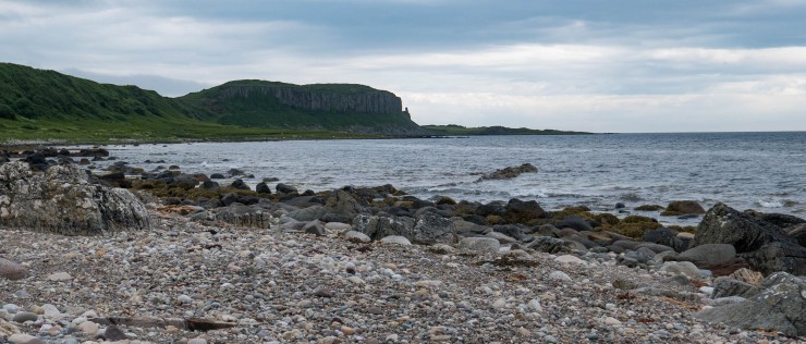
We were almost at Blackwaterfoot, I could see the dramatic Drumadoon Point in the distance. These cliffs are about 60 million years old! Over 2000 years ago there was a fort on top of these cliffs. We need to go back and see this another day though. Watch a wee video of Drumadoon Fort.
The sheep ramblers were leading the way to Drumadoon Point.
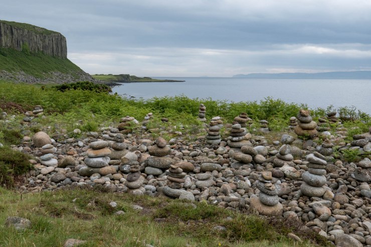
The man-made stone towers were still here. I remember them from my visit in 2006.
We walked up the path towards the fort rather than take the lower rocky walk underneath the Doon hillfort. The tide was in so this was the best way for us today.
We crossed a field and then followed the golf course to Blackwaterfoot.
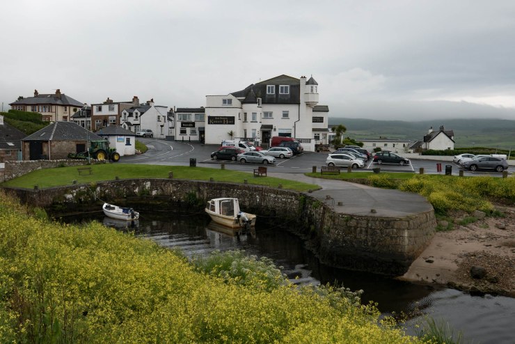
Yay! We reached Blackwaterfoot and our car was there waiting for us.
We drove to Brodick first to pick up some snacks from the Co-op, then dropped Anne off at Corrie where we met her lovely daughter.
When we got back to the camping pod in Lochranza campsite we still had time for another tasty meal at the Lochranza Hotel which I was ready for. Happy days!

Day four was completed, yay!
We saw so many interesting places today. It was tiring but also amazing at the same time. When I think back I don’t know how I kept going each day. No sooner we were finished it was time to get back up and do it again. I was determined to keep going and love being out in the fresh air. It’s so good for my mental health and makes me feel alive.
This was our last night at the lovely Lochranza as we were moving further round the island and was hoping to book a tent pitch at Seal Shore in Kildonan for our next sleepover.
Our next day’s walk would be from Blackwaterfoot to Lagg (12 km/7.5 miles).
Thanks for reading.
Love, Dawn-Marie x
Catch up on my other walking days
- The secret wedding
- Arran Coastal Way – Day 1 – Brodick to Sannox
- Arran Coastal Way – Day 2 – Sannox to Lochranza
- Arran Coastal Way – Day 3 – Lochranza to Imachar
- Arran Coastal Way – Day 4 – Imachar to Blackwaterfoot
- Arran Coastal Way – Day 5 – Blackwaterfoot to Lagg
- Arran Coastal Way – Day 6 – Lagg to Whiting Bay
- Arran Coastal Way – Day 7 – Whiting Bay to Brodick
- Watch my six minute video of the whole week

Spectacular approach to your writings, loving the style that you bring out your posts and the way that you compose your feelings and perspectives into it. Really love the theme that you have chosen for your blog to signify you. Hope to see more from you. Have hope, write on!
LikeLiked by 1 person
Thank you so much! It really helps to know that readers like it. I love writing as a hobby and I’m always learning. I’m slower at reading and writing but I get there eventually. Thank you 😊
LikeLiked by 1 person
I think this is my favorite part so far Dawn-Marie, the scenery is so beautiful and it looks more dramatic. This area would be great for photography. I’m very much enjoying reading your blog and look forward to the next one.
LikeLiked by 1 person
You’re so right Paul, the coastline is spectacular and changes the further you walk.
You can walk to the King’s Cave and Drumadoon Point in a day trip. I really want to go to the top of the Drumadoon Fort, so a wee day trip this week might be on the cards for us :).
Thanks for reading and commenting, I really appreciate it!
So when are you going to visit? 😉
Dawn-Marie
LikeLike
I had considered going this weekend however there’s some other things I want to do as well and I can’t fit it all in. We’ll see.
LikeLiked by 1 person