In situ soil moisture campaign in a Mediterranean environment

In situ soil moisture campaign in a Mediterranean environment

November 25, 2019

Spatially explicit near-surface soil moisture (θ) patterns at high temporal resolution are essential in environmental modelling for improving risk assessment and for quantifying the effects of climatic seasonality and land use/land cover change on ecosystem services and functions in Mediterranean catchments. Remote sensing data from the European Copernicus mission are highly acknowledged to serve as fast, reliable, and available suppliers for the derivation of area wide, high grid-resolution information on near-surface soil moisture patterns acquired at a regular temporal resolution (satellite overpass is every six days). To reliably map θ from remote sensing radar (i.e., Sentinel-1) satellite products, robust calibration with gridded ground-data is needed and use of either sporadically measured or continuously monitored θ is of crucial importance for validation procedures.
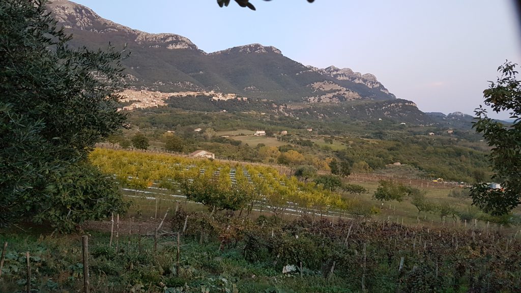
Monteforte Cilento in the Upper Alento River catchment in southern Italy. Picture by S. Schönbrodt-Stitt (Oct 23, 2019)

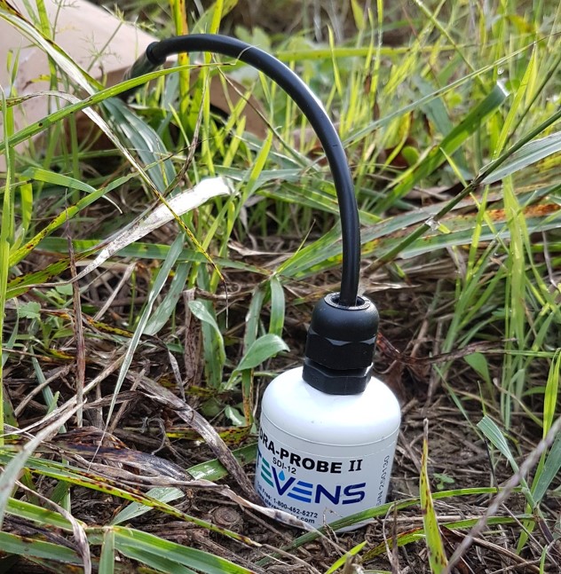
Together with partners from the Department of Agricultural Sciences (AFBE Division) at the University of Napoli Federico II (Portici, Italy), staff members from the Department of Remote Sensing at the University of Würzburg conducted a short field trip and in situ campaign at end of October 2019. Focus of sampling was on soil moisture and electrical conductivity, and intercalibration of sensors. The campaign took place in the Upper Alento River catchment in southern Italy (Salerno province).

The stay in Italy was completed with presenting first group’s results about “Remote sensing-based monitoring of soil moisture in a small-scale agricultural catchment” at the IEEE workshop on “Metrology for Agriculture and Forestry” in Portici.

you may also like:

New staff member Luisa Pflumm

New staff member Luisa Pflumm

Luisa Pflumm joined the Earth Observation Research Cluster in May 2024 as part of the EcoGlob project and is working with the UAS team in the context of remote sensing for biodiversity and nature conservation. She received her Bachelor's degree in Geography from the...

New team member: Ása Dögg Adalsteinsdottir

New team member: Ása Dögg Adalsteinsdottir

Ása Dögg Adalsteinsdottir joined the Earth Observation Research Cluster in May 2024 as a member of the EO4CAM project team. After earning a bachelor's degree in geography from the University of Iceland, she moved to Germany to study in our EAGLE master's program. She...

NEW TEAM MEMBER: CHRISTIAN SCHÄFER

NEW TEAM MEMBER: CHRISTIAN SCHÄFER

Christian Schäfer joined the EO4CAM project in May 2024. He received his Master's degree in 2017 from Julius-Maximilians-Universität Würzburg (JMU), focusing on GIS-based synthesis of transboundary soil maps. During his work in the JMU BigData@Geo project, he enhanced...

GGW talk on geodata, mobility and social media

GGW talk on geodata, mobility and social media

On Monday the 13th of May our PhD students Ariane Droin and Johannes Mast were holding a talk at the Geographische Gesellschaft Würzburg organised by the Fachschaft Geographie about 'Geodaten, Mobilität und soziale Medien. Big data und die lokale Perspektive der...

NetCDA kick-off workshop

NetCDA kick-off workshop

Yesterday, on May 16th, the partners of the project "European Academic Network for Capacity Development in Climate Change Adaptations in Africa" (NetCDA) met to jointly and officially kick-off their project. The NetCDA team at the University of Würzburg invited all...