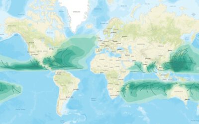
S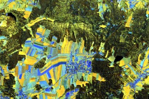 ophia Wiesböck will do her BSc thesis on the importance of fCover and Lidar data to explain home range sizes of red deer in the Nationalpark Bavarian Forest. Sophia will compute fCover on different spatial resolutions using different data sets and make it comparable with Lidar data. This will allow us to analyse the explanatory power of these data sets for home ranges of different red deer individuals in the Nationalpark. This thesis is supervised by Benjamin Leutner, Mirjana Bevanda and Martin Wegmann in close cooperation with the science department of the Nationalpark, Jörg Müller.
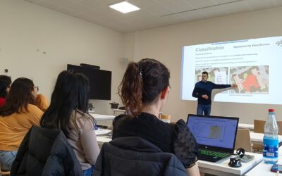
Object oriented image classification course
Today our EAGLE object based image analysis (OBIA) started, taught by our colleague Dr Michael Wurm, team leader at the DLR Earth Observation center GZS department. Michael is covering the theory and practice of OBIA in his class and thereby broadening the...