
Bonus Day! If you read my last post, you know Catherine and I bailed a day early on our backpacking trip. With uncertain weather predicted for the following day, what would you do?
(1) Sleep in, eat bonbons in your jammies, and watch some sappy movie?
(2) Spend the day driving home to get a jump start on chores and future adventure plans?
(3) Go for a hike?
Catherine and I were optimistic about decent weather and started discussing day hike options as we descended to the car. One option was to hike a ridge where we could view our three-day jaunt from Red Rock to Boulder Creek. That was a definite winner assuming it wasn’t pouring rain in the morning or submerged under heavy cloud cover. Hopeful destination, Black Rock Mountain!
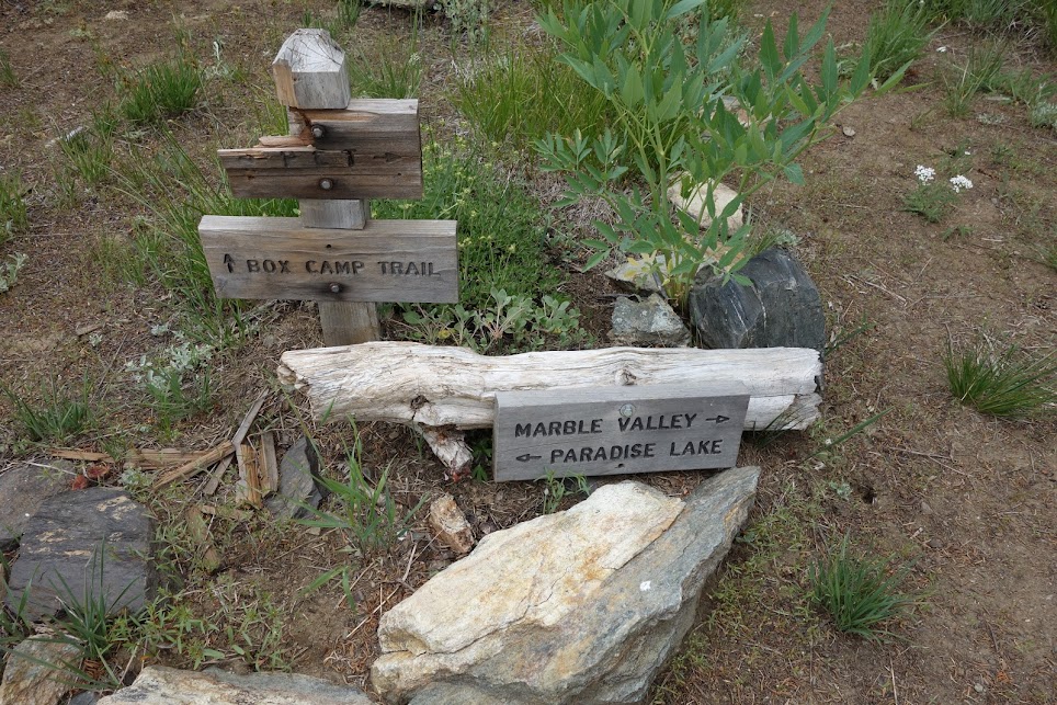
Indeed we awoke to a semi-pleasant day, at least one in which we would be willing to take a chance. Our hike began on the Box Camp Trail which eventually connects with the PCT.
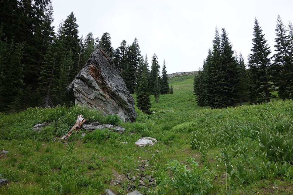
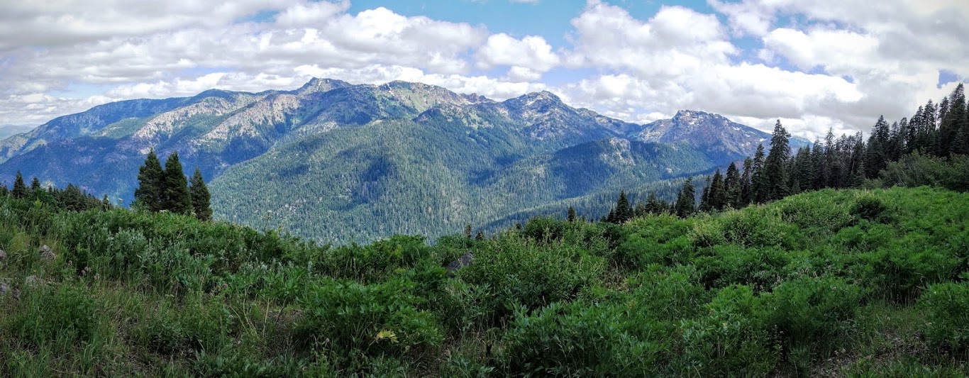
This area has been hunting territory for a long time. I don’t know the history of the names, so I’ll provide the story I’ve created. As defined, “a box canyon is a small ravine or canyon with steep walls on three sides, allowing access and egress only through the mouth of the canyon.” For the purpose of hunting, these canyons provide an efficient method of herding game.
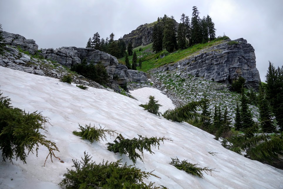
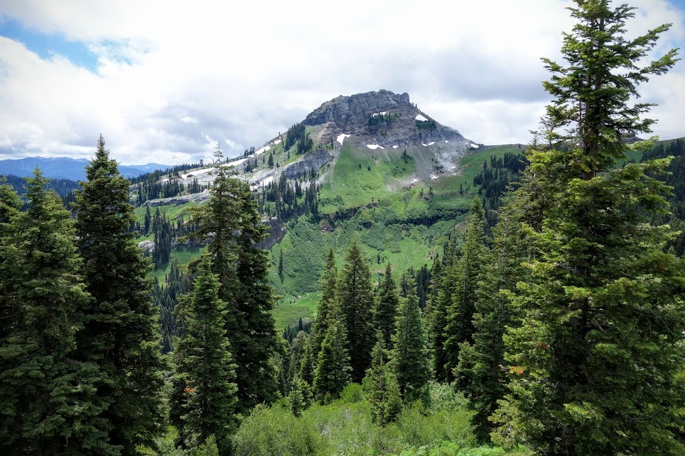
Box Camp Mountain – game would be herded up this valley

Box Camp Mountain and aptly named Death Valley 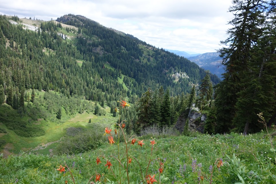
Big Rock Camp. This area is now also used for cattle grazing. On a trip several years ago, my group had planned to camp here. But as we grew near, we heard wind chimes, or so we thought . . . and then we saw the source. COW BELLS!!!! I’d never seen cows in the wilderness before and what a sight. Seeing them muck up the spring, and trample my beautiful wildflower meadows was heartbreaking. I don’t support wilderness cattle allotments in places like this.
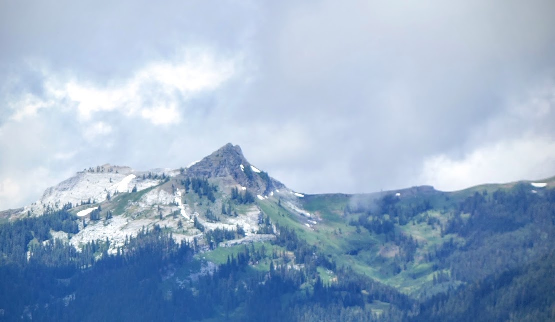
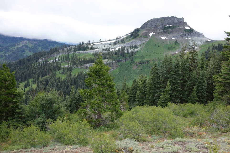
Black Marble Mountain. According to my guidebook, “the top of Black Marble Mountain is actually brown schist, with while marble underneath. Marble and schist are metamorphic rocks which have been chemically altered over great time periods. Marble is metamorphosed limestone.”
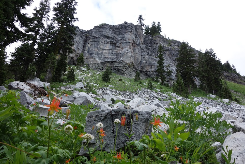
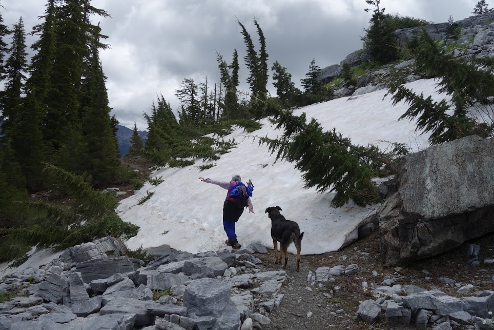
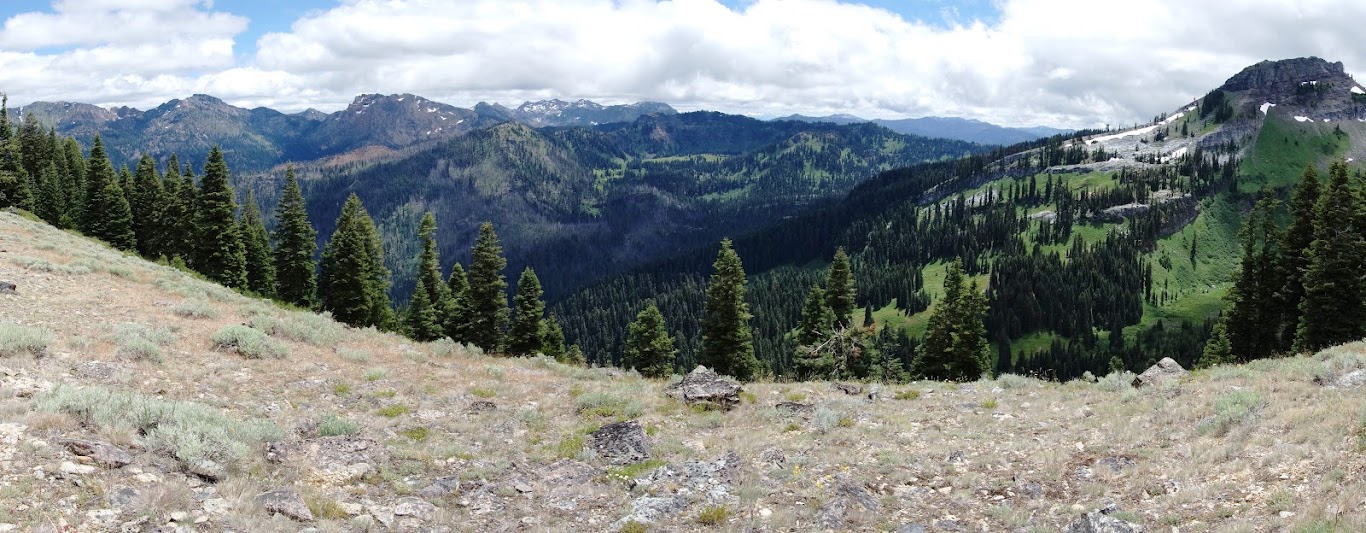
Hikers beware, snow patches are common on this section of the PCT through mid July.

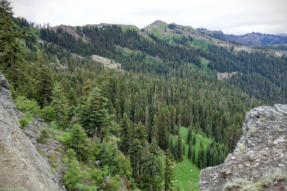
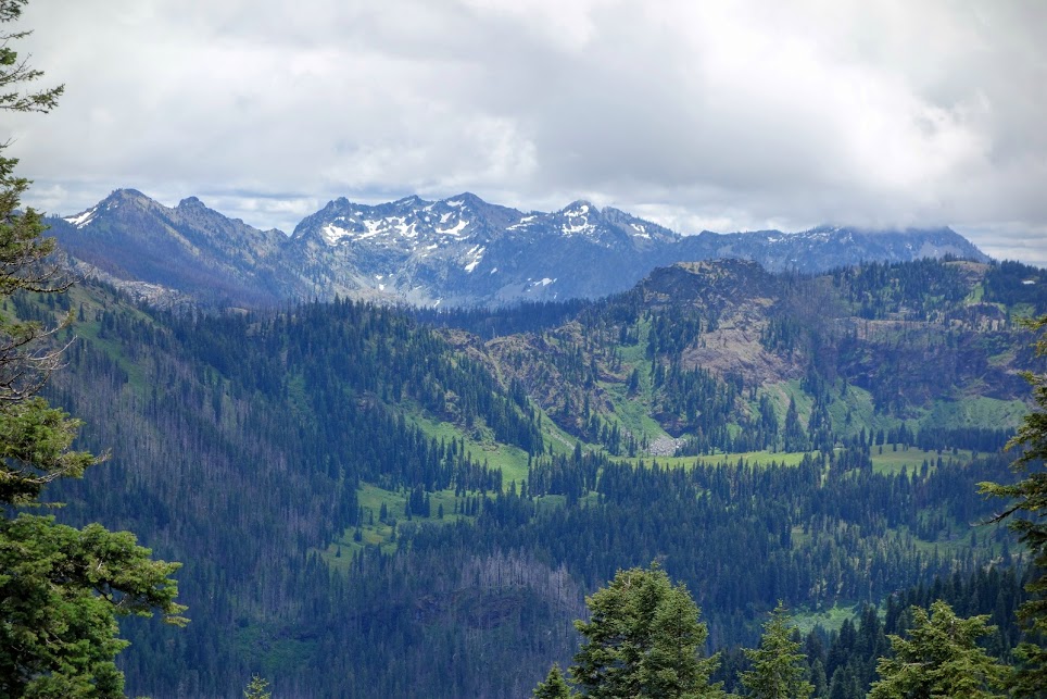
This view was the primary reason we’d selected today’s destination. Our previous three days were spent in those distant mountains. The highest peak in the Marble Mountain Wilderness is Boulder Peak (8,299′). To the right is Red Rock Mountain, where we started, to the left is Boulder Creek where we ended. In the middle is the Canyon Creek drainage.
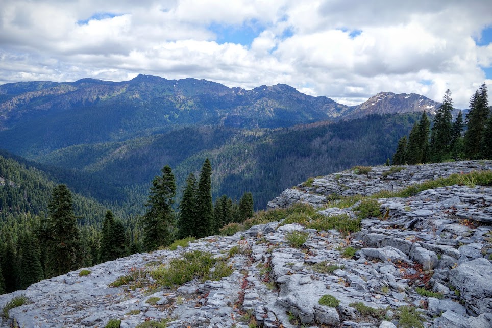
We even had views to the Trinity Alps, including still snow covered Caribou Mountain. Can you imagine the views on a clear day?
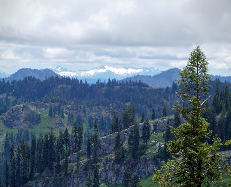
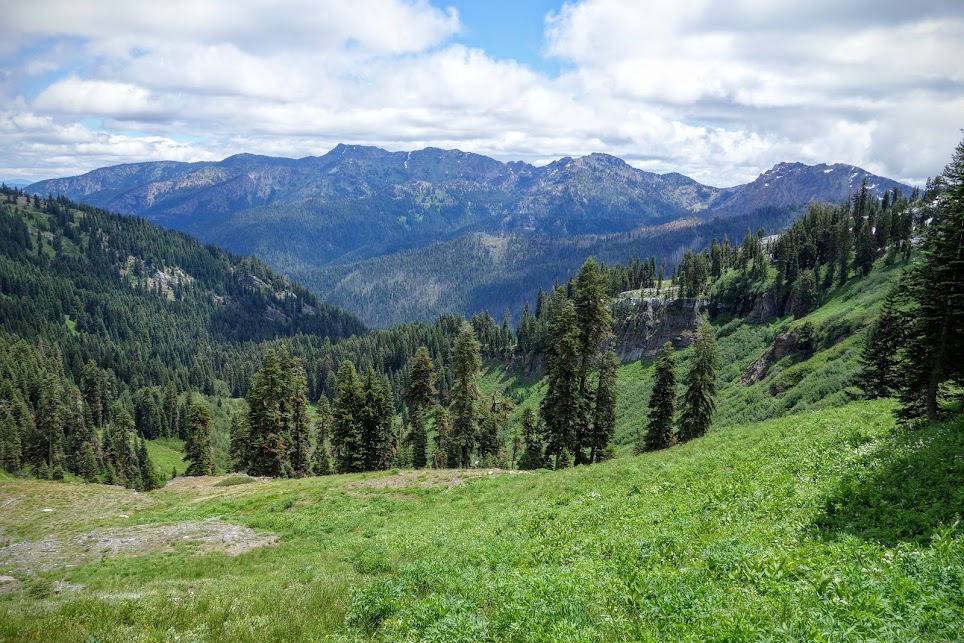
And views into Sky High Valley and the glacial cirques beyond.
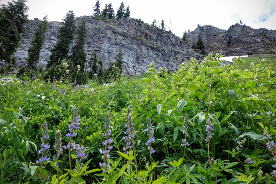
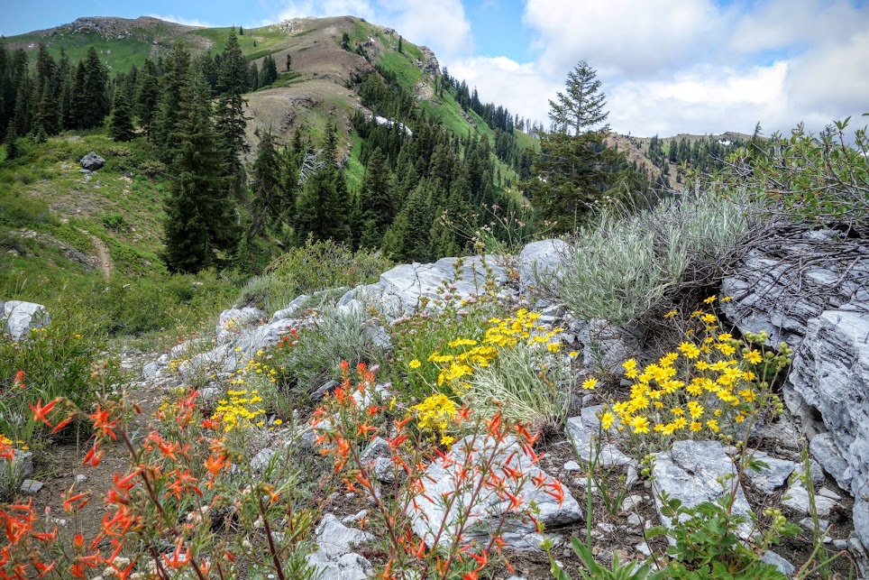
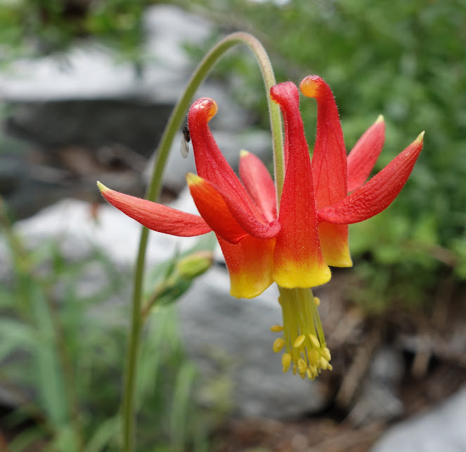
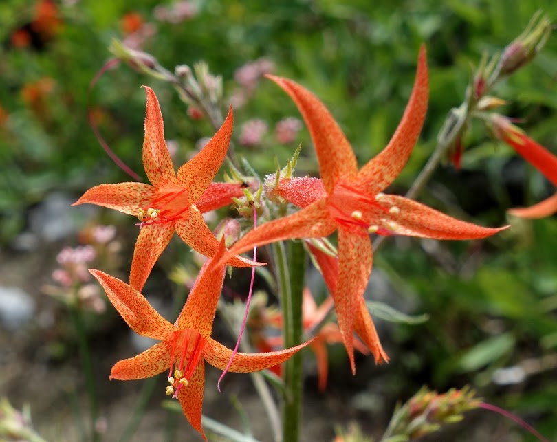
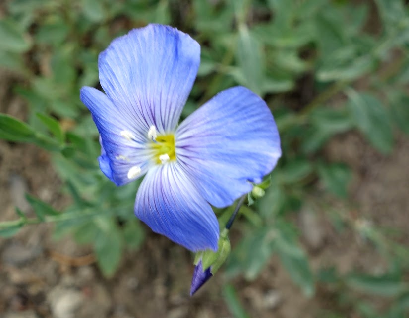
Today’s Bonus: Plenty of Blooms!

Date(s) Hiked: July 10, 2016
Jan’s Tips:
- Links to other jaunts I’ve taken in the Marble Mountains
- This was about an 8-mile round trip hike, with 1,600′ elevation gain/loss. Trail is well marked, easy to follow, and had few obstacles on this day.
Marble Mountain Wilderness Resources:
- Marble Mountain Wilderness USFS Web Site
- Marble Mountain Wilderness Wilderness.Net Web Site
- Marble Mountain Wilderness Lakes USFS PDF
- Marble Mountain WIlderness Trails USFS PDF
Books:
Maps:
- USFS Marble Mountain & Russian Wilderness Areas Map
- Marble Mountain Wilderness Interactive Map Wilderness.Net
Wilderness Permits are NOT required for overnight trips
Campfire permits are needed for the operation of a backpacking or camp stove. Online Permit Link
Bear canisters are NOT required

Great hike Jan, I really liked your flower hunt, you stalked and bagged some great specimens.
I was wondering if you’ve ever hiked during September (first week) and if you thought that would be too late to experience much of what the wilderness has to offer?
I’m traveling with my sister-in-law and a big part of what we want to see is wildflowers as well as the geology.
Thanks!
September is a great time of year to hike that area however you’ll miss the wildflowers.