
I hadn’t planned an extended stop at Lees Ferry. Vermilion Cliffs National Monument was my destination, but when I couldn’t find maps or information in Page or at the Glen Canyon Visitor Center, I decided to wing it figuring I’d find what I needed along the way.
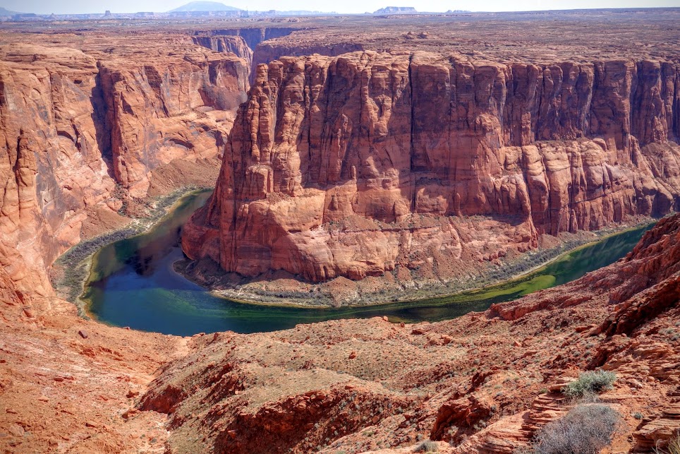
First stop was to the ever popular Horseshoe Bend. Now that was a HUGE disappointment. Not only was it a zoo, with probably 100 people clamoring for a snap of that perfect photo we’d all seen, but with the position of the sun and the boats zooming through the channel, it was clear this scene would not make my Cherry Picker’s Delight list.

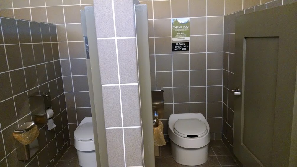
Next stop was the Navajo Bridge Interpretive Center, surely they’d have brochures or maps of the area. Well, being off season and all, it was closed. Since I was there I took the opportunity to wander over the bridge and gaze upon the Colorado River; and use the nicest public restrooms I’ve seen in a long time, complete with composting toilets!

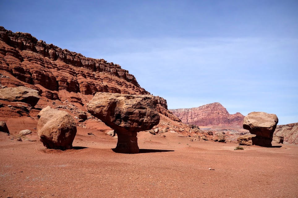
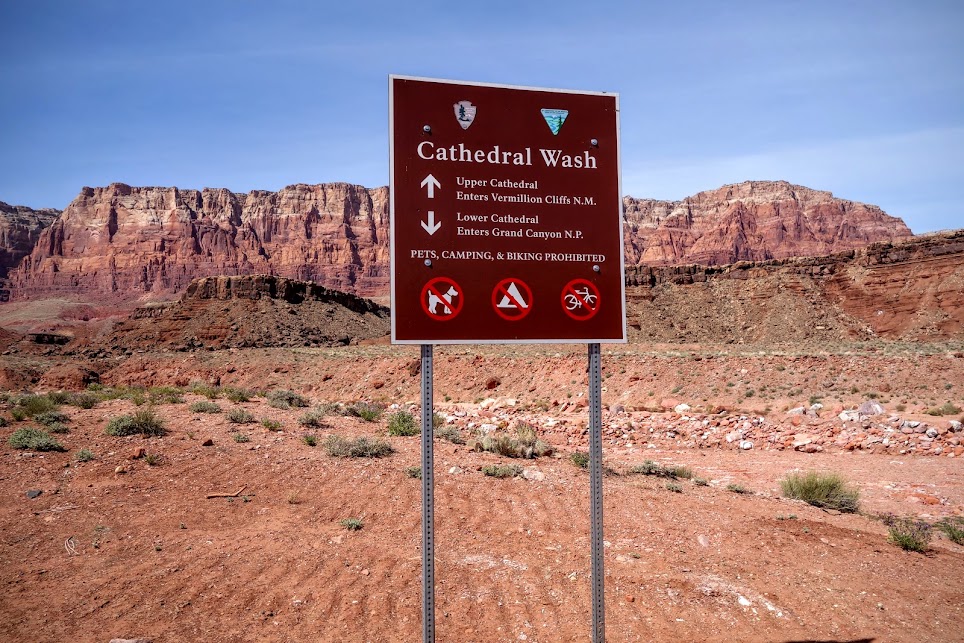
As long as I was in the vicinity and wandering about, I decided to take a quick tour of the Lees Ferry area. The short 5 mile drive featured some impressive sandstone features including Balanced Rock and Cathedral Wash. However since I was still focused on exploring Vermilion Cliffs I did not linger.
I continued my drive east on Highway 89A, stopping at the communities of Marble Canyon, Vermilion Cliffs and Cliff Dwellers, all with the same result. No information, no maps!
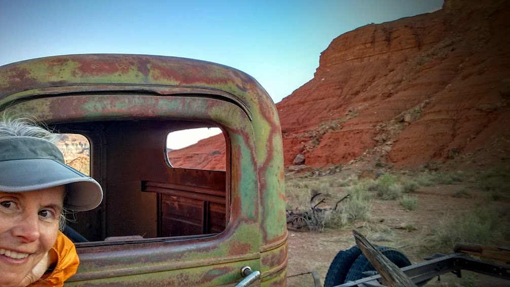
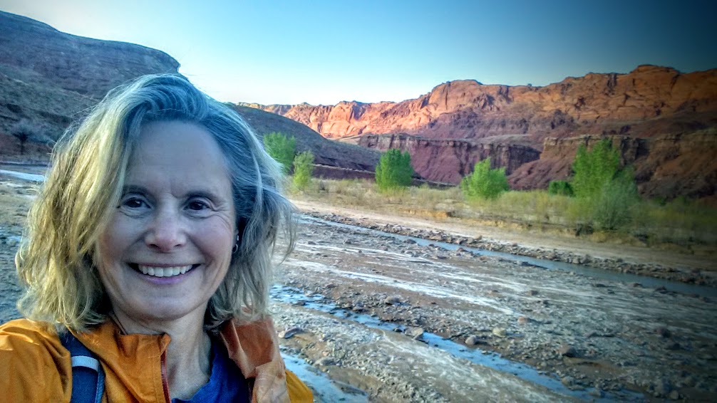
Finally I cried, UNCLE. There must be some reason I’m not supposed to explore the Arizona side of Vermilion Cliffs. I’ve learned not to fight these clues. Ready to stretch my legs, walk off my frustrations and settle in for the night, I returned to Lees Ferry, where there is a no reservation camping area.
Hike 1 – Historic River Trail
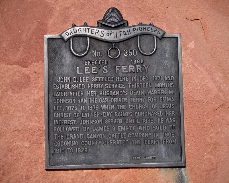
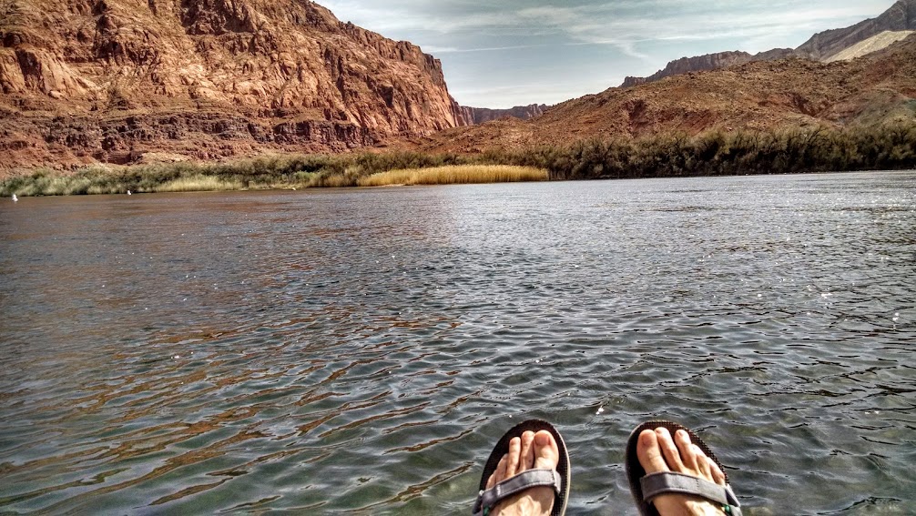
The area is named after ferry operator John D Lee. Beginning in 1873 Mormon pioneers used this ferry to cross the mighty Colorado River on their journey from Utah to Arizona. The mouth of the Paria River provided the only breach of sheer canyon walls for hundreds of miles. Service was discontinued in 1928 after the ferry capsized, killing three men. Today, this area is primarily used by rafters, kayakers, fishermen, and a few crazy hikers like me.
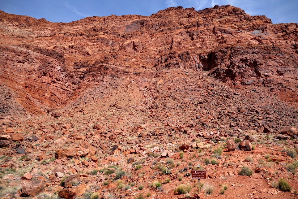
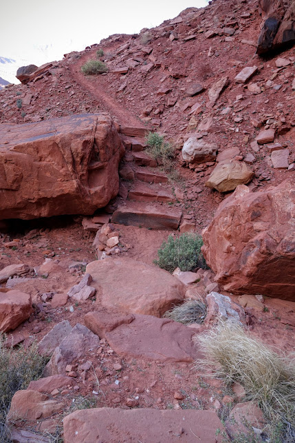
Hike 2 – Spencer Trail
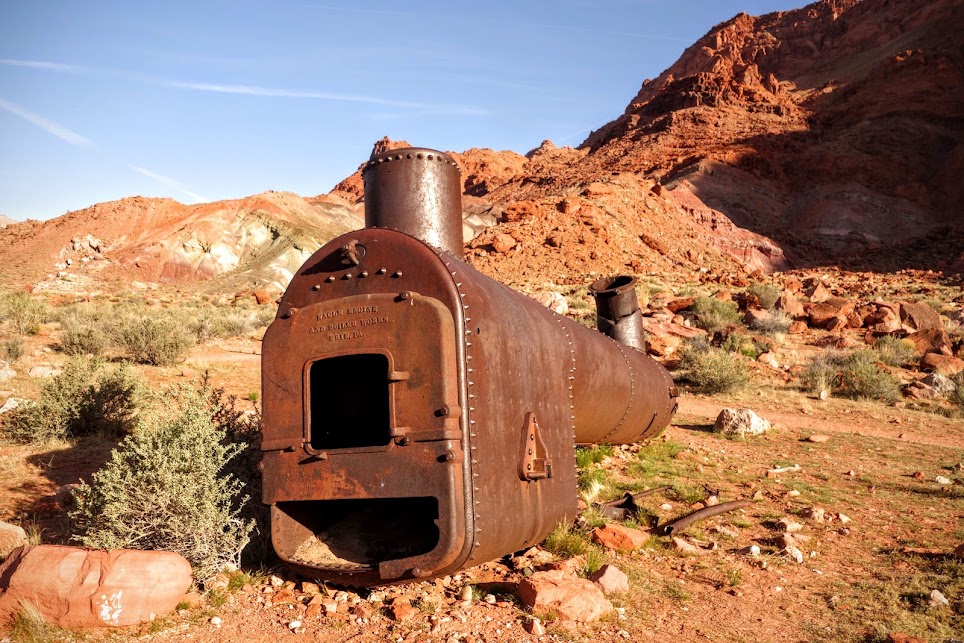
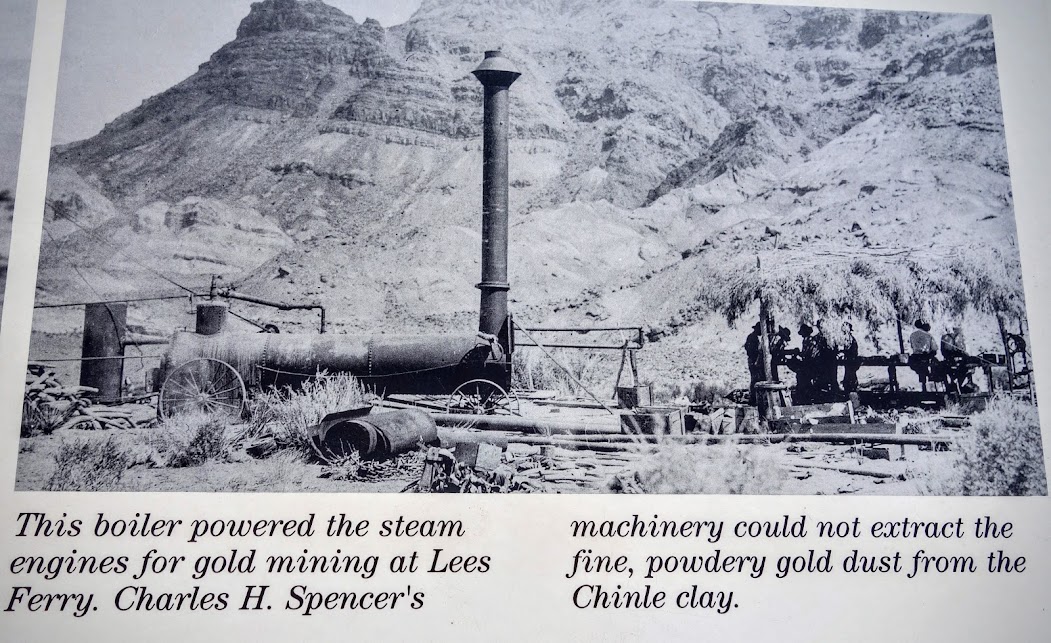
This trail was built in 1910 to transport coal from the Warm Creek mine to Spencer’s mining operation at Lees Ferry. Sketchy details were provided:
- 1.5 miles
- Strenuous; Difficult
- Trail climbs vertical cliffs with a 1500-1700′ elevation gain
- Trail not regularly maintained but passable for careful hikers
- Rocky climb up switchbacks
- Look for the rock cairns to the left and above the old boiler
Found the sign, now about that trail? It’s supposed to switchback up the face to the top.
I’ll take this view over that of Horseshoe Bend any time, especially since I had the trail and entire mountain to myself.
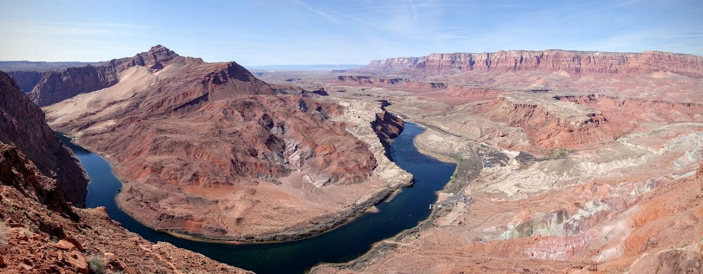

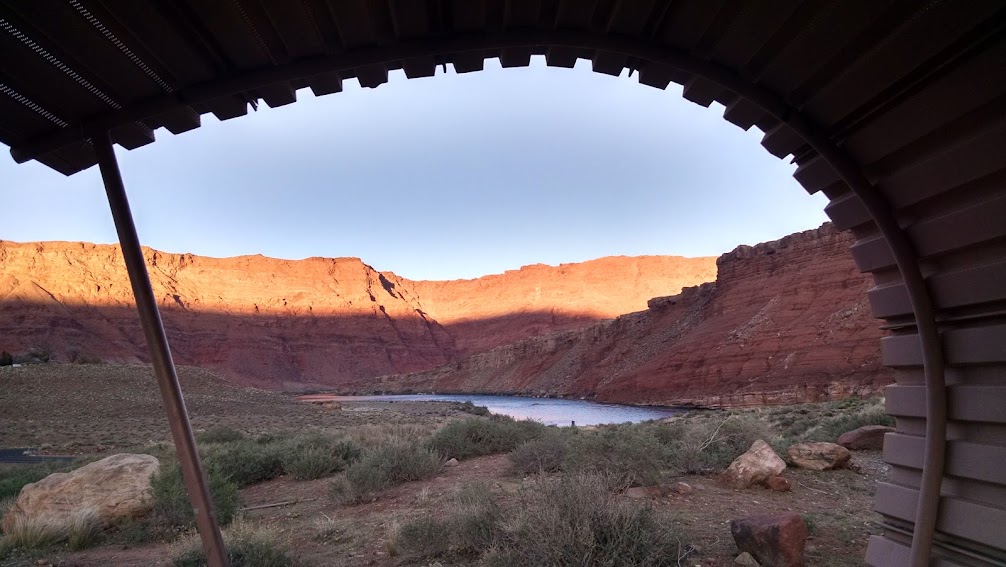
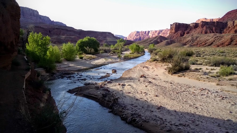
The Colorado River continues it’s journey through Marble Canyon.
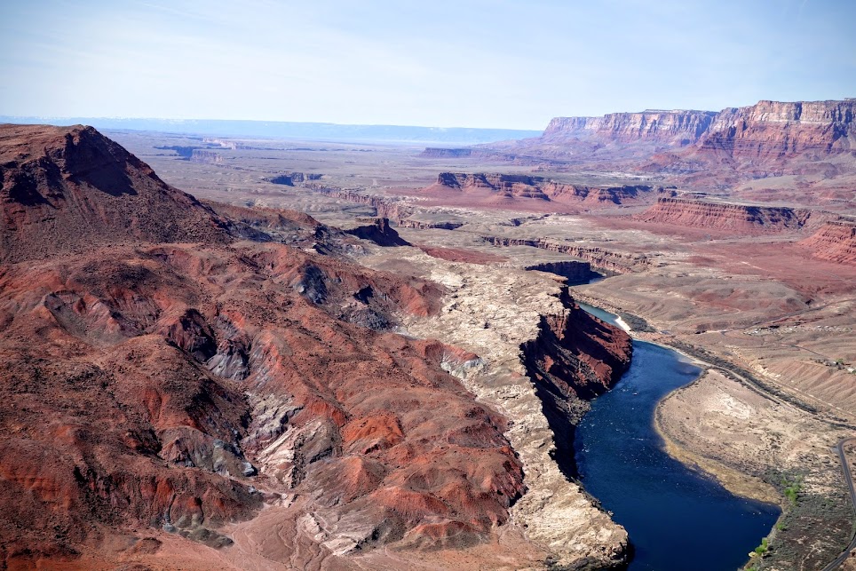
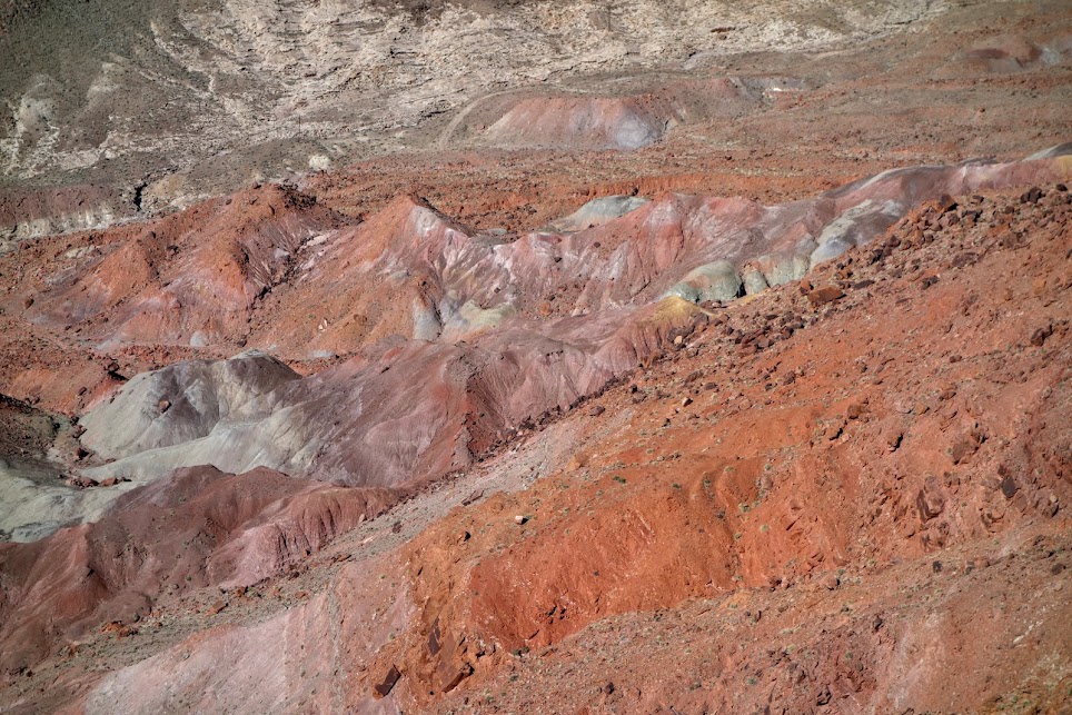
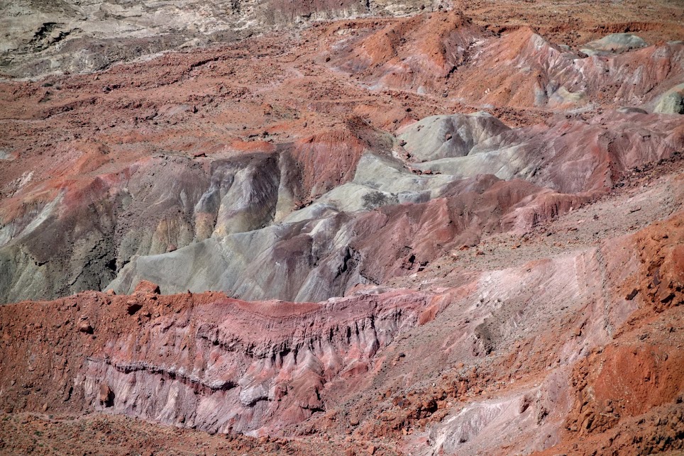
Views of the Paria River Canyon
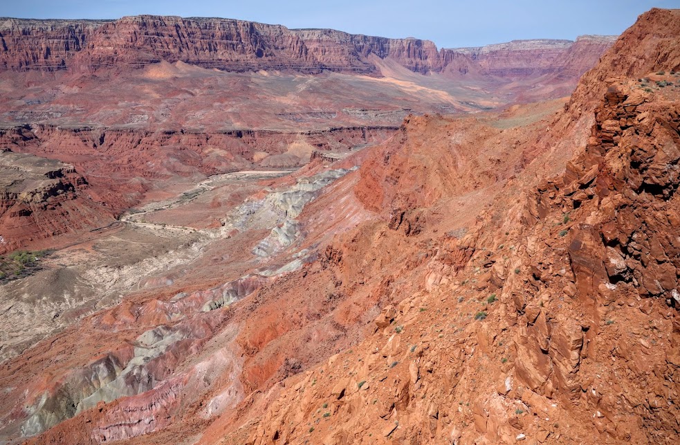
I’d say this palette of colors would rival that of Death Valley.
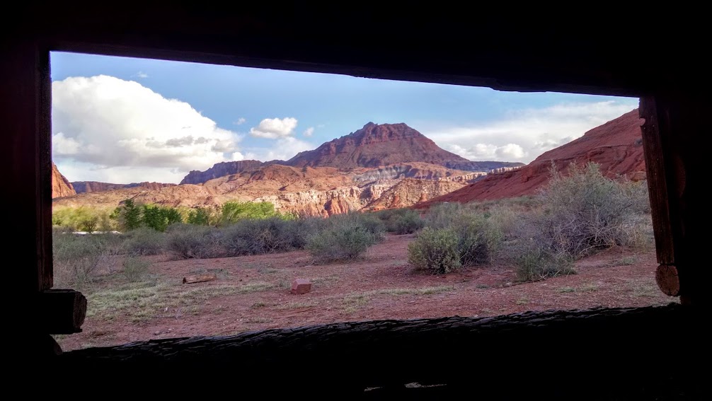
Views down into the beginnings of the Grand Canyon with Lake Powell and Glen Canyon in the far distance.
Reality vs trail literature: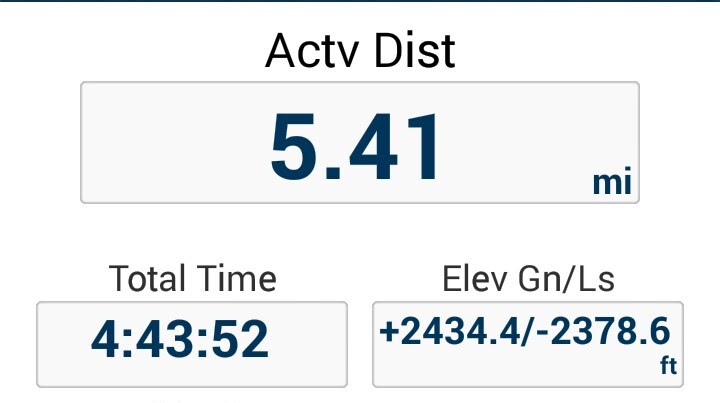
Hike 3 – Paria Canyon Trail
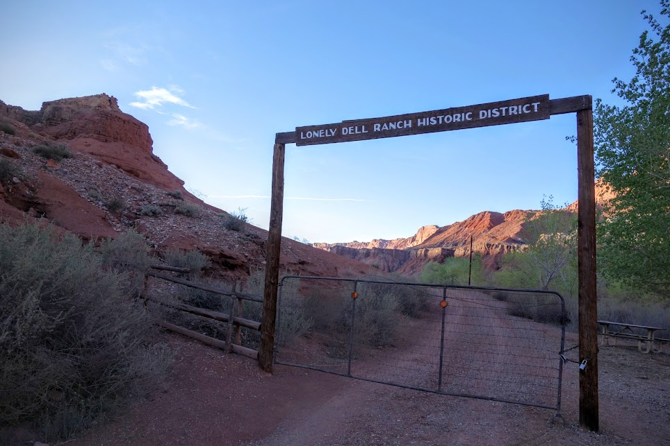
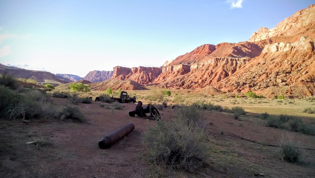
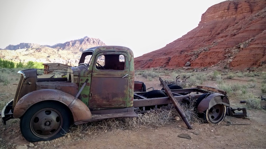
The Lonely Dell Ranch, so named for it’s then extremely isolated location, is the welcoming entry to Paria Canyon. The original purpose of the Ranch was to provide a home for the ferry operators and their families. The trail reaches Utah in about 45 miles.

Bonus!
Date(s) Hiked: 3/15, 3/16, 3/30, 3/31/16
Road Trip Day(s) #25-26, 40-41
Jan’s Tips:
- If you want to explore Vermilion Cliffs on the Arizona side, you’ll want to visit a BLM office first. Nearest are St George and Kanab, plus the Paria Contact station on the Utah side. There are NO visitor centers. Some areas are quite restrictive with quota permits, others are fragile ecosystems requiring extra precautions, while others can only be accessed with raised 4×4. Maps are imperative!
- March was a great time of year to visit Lees Ferry. Temperatures were perfect for hiking and exploring.
- While I’m sure there were BLM dispersed camping options available, without a map or information, plus feeling uncertain about off road conditions, I found the campground at Lees Ferry to be more than adequate.
- Link to more Arizona Jaunts

Hi Jan, great photos, and commentary. I have been following you for a while now, from Canberra, Australia, and enjoy your blog. Regards, Barrie
Appreciate the feedback. Have loved all the Aussies I’ve met on my travels.
A bunch of fantastic photos Jan 😀 and a great read 👍
My daughter and I did the same thing for the same reasons. I didnt post ANYTHING about it. No offense intended, but putting up these trip details is exactly what happened to Horseshoe Bend. I used to visit Horseshoe Bend years before it got ‘Instagrammed’. These types of ‘look at me’ trip descriptions are part of that result.
I think we’ve all become more sensitive over the past decade. This was written in 2016 and since you have to hike for the view, and take a long out-of-the-way drive, it will never see the busloads of folks who can just stop by roadside attractions. But yes I do contribute by sharing stories and photos, but my goal continues to be to educate, inspire, and motivate.