
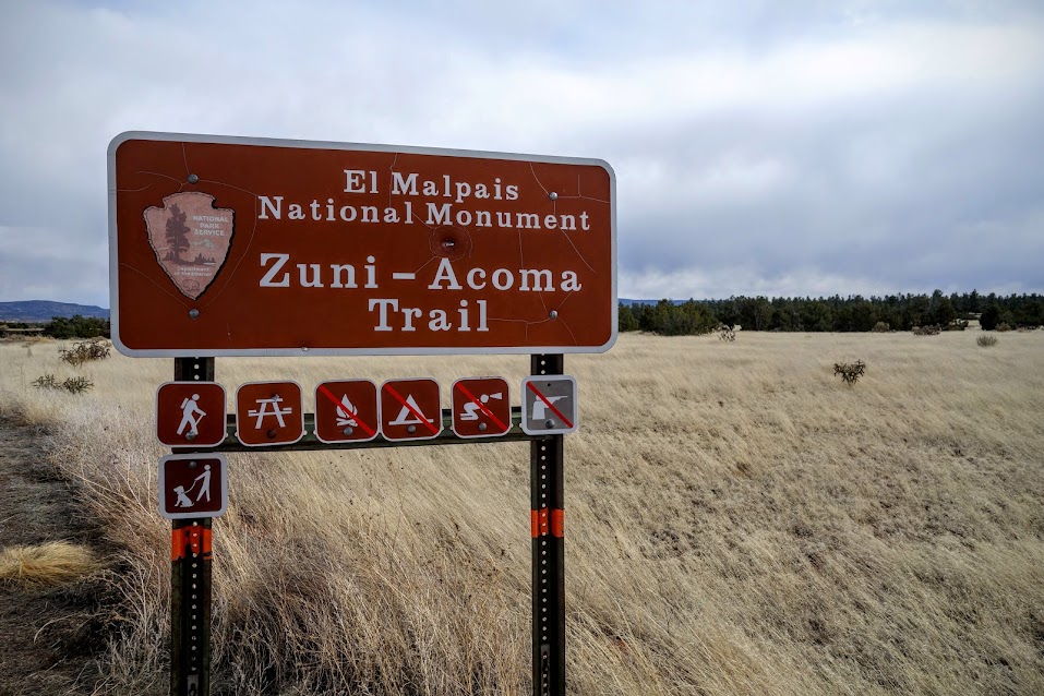
In my wilderness travels when I see scat and tracks, I ponder, who walks here? With this trail there is no question of who walked here. This is a historic route between two communities of pueblo peoples, the Zuni and Acoma. Hikers of the CDT (Continental Divide Trail) now have the privilege of sharing tread with the ancient ones.
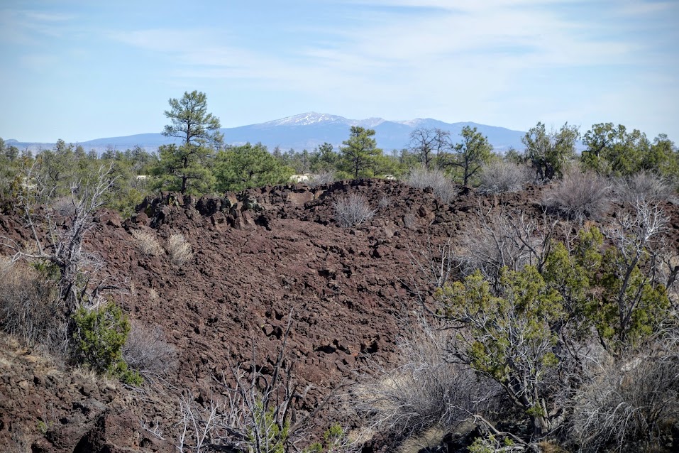
Mt Taylor, at 11,305′, is a significant directional landmark for the area.
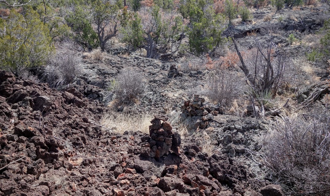
This is a cairn-based trail, which means you won’t find much barren smooth surface travel, instead piles of rocks (cairns) mark the way. Sometimes they are easy to follow, other times it takes a few minutes to find the next one, especially in fields of lava rock.
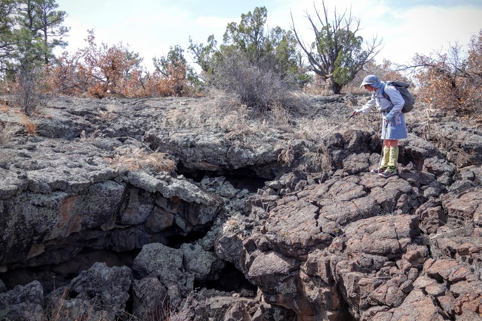
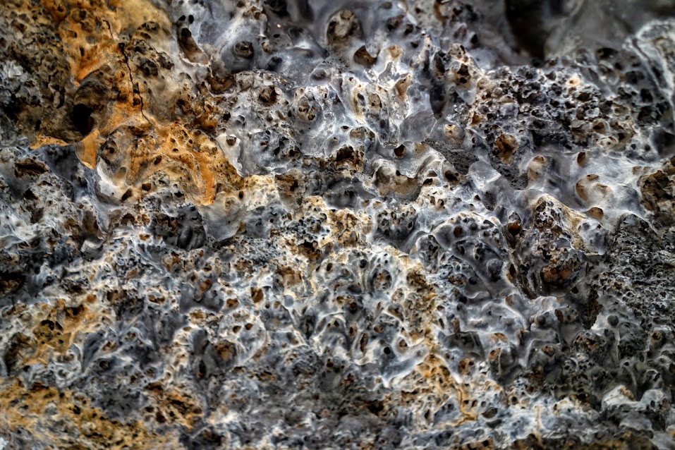
Within this lava flow, there are varied geologic formations, offering plentiful exploration opportunities. It gives you a feel as to why the Spanish named this area El Malpais (badlands). Here Joan (aka Hemlock) explores the inside of a lava tube.
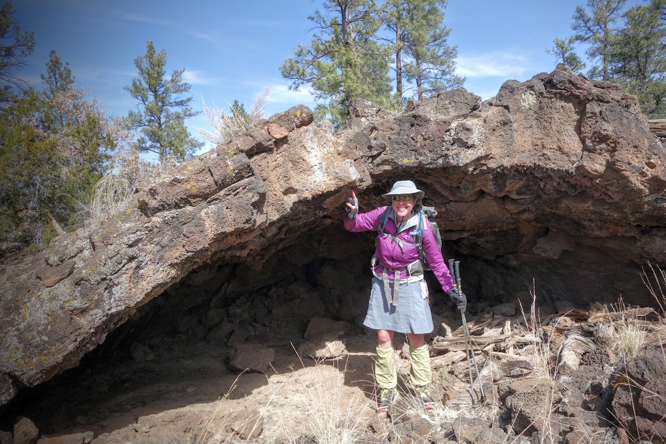
Caves, canyons, crevices and rock bridges were made for discovery.
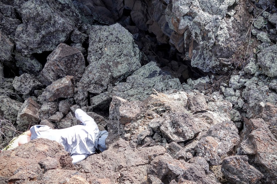
Of course my friend had to go in for a closer look. Me, I can skip those dark places where critters might live.
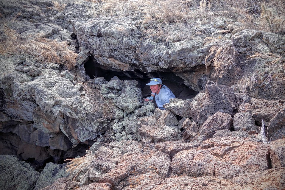
I’m happy to be the photographer.
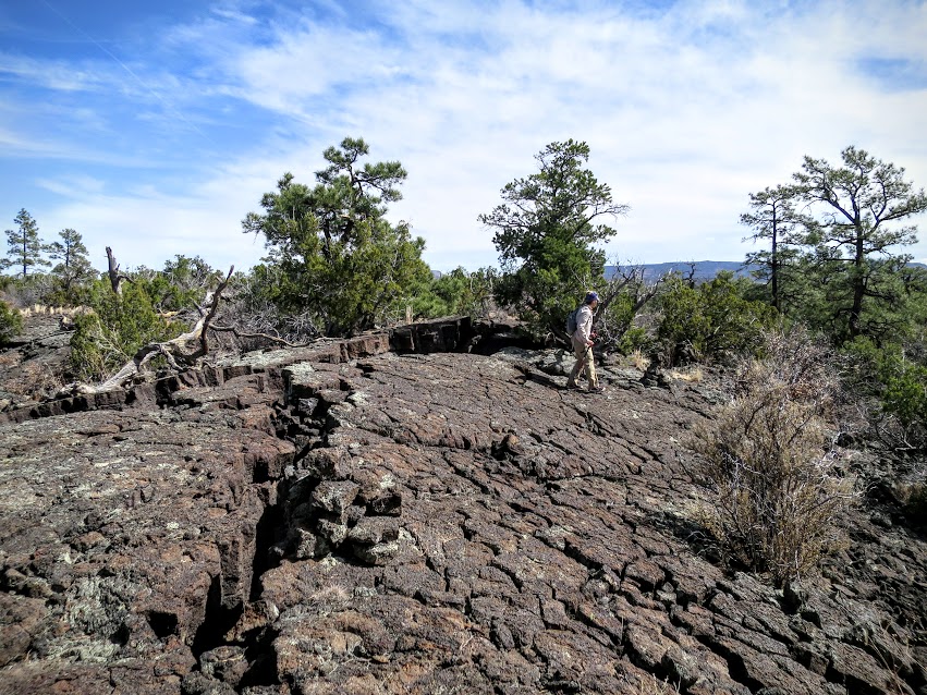
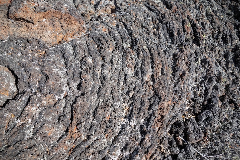
I liked the smooth surface flows; made for a nice textured walking surface and a fantastic break from the ankle-twisting, lumpy, bumpy rocks. Photo credit: Joan
The ceiling of a cavern (covered in webs).
Date(s) Hiked: March 7, 2016
Road Trip Day(s) #17 out of 88
Resources:
- Continental Divide Trail Coalition
- El Malpais National Conservation Area (BLM)
- El Malpais National Monument
Links:
- Jan’s Jaunts in New Mexico
- Rambling Hemlock (posts from this adventure)

Photo Credit: Joan

This was such a fascinating area. Really loved exploring the lava formations and imagining the people that came before us on this route.
Pingback: 2020 – A Decade of Section Hiking Long Distance Trails . . . my podcast debut and resume – Jan's Jaunts and Jabberings