

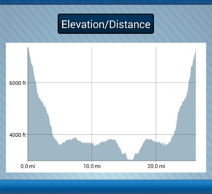
No permit, no problem! Walk-up permits are usually available for the less popular trails and campsite options. Being flexible is key. My requests were semi-solitude, views, reasonable water access and some good hiking miles over a 3.5 day period. The ranger helped me put together a trip starting and ending at the Grandview Trailhead. I might have been a little surprised to see this on my permit: NOTE: Aggressive Itinerary! Leader advised of associated risks. Was it because of this profile perhaps?
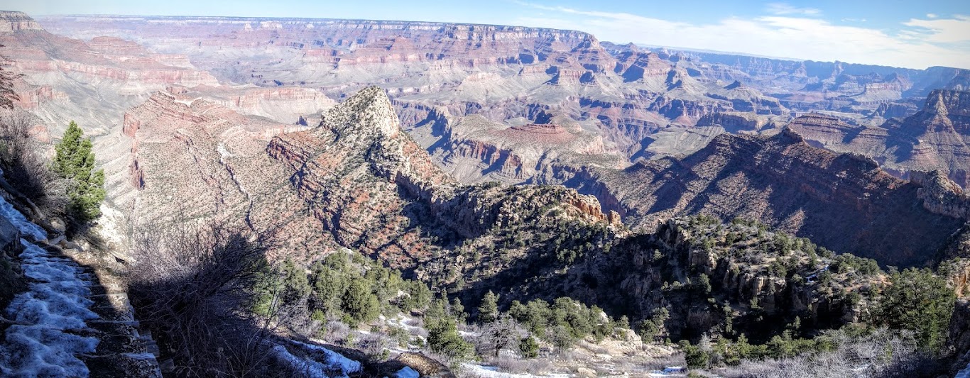
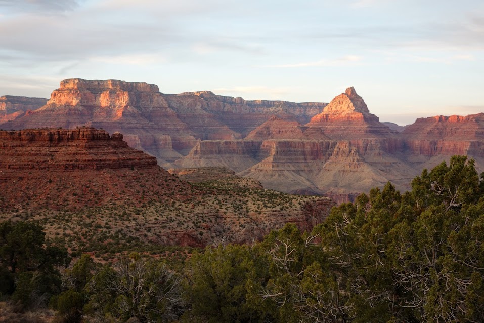
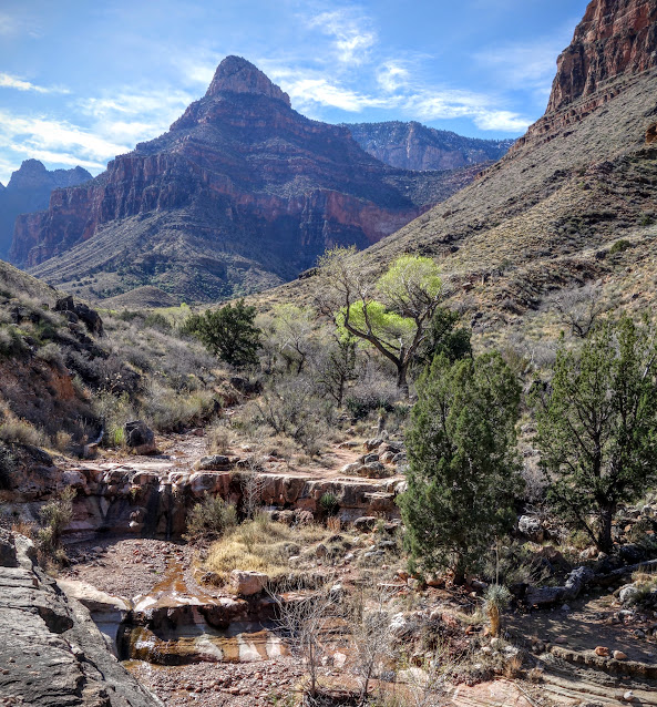
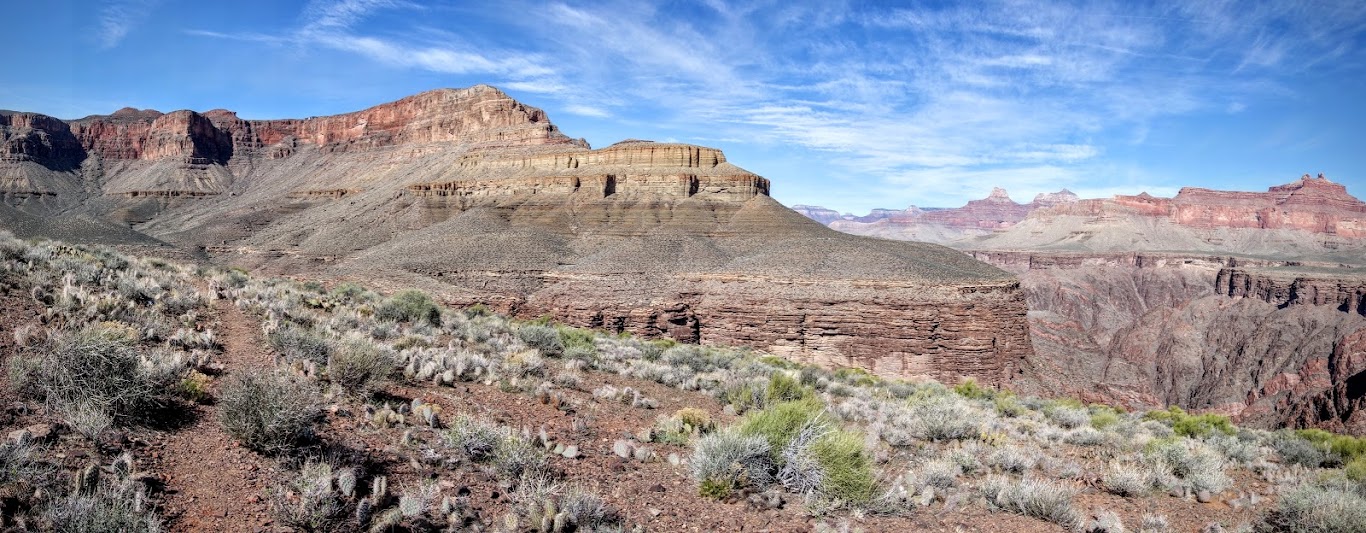
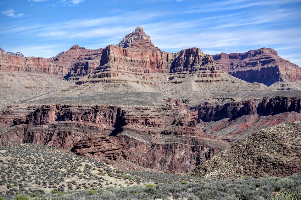
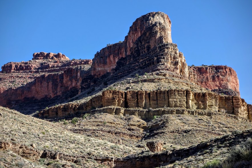
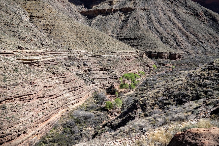
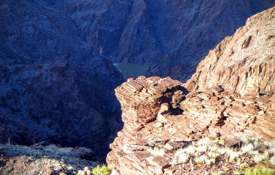
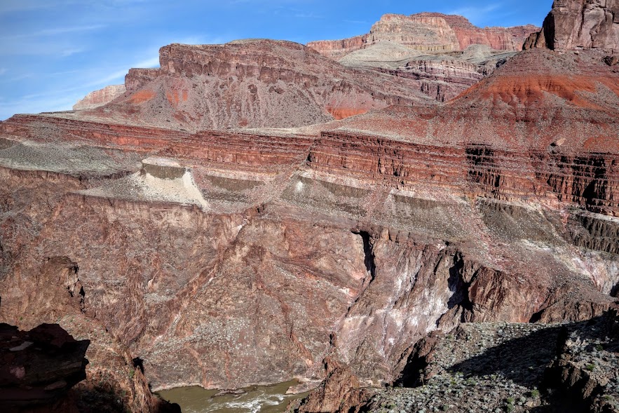
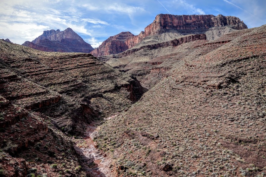
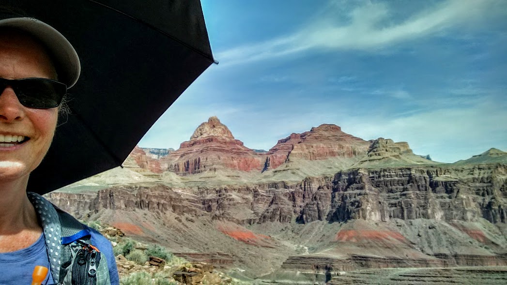
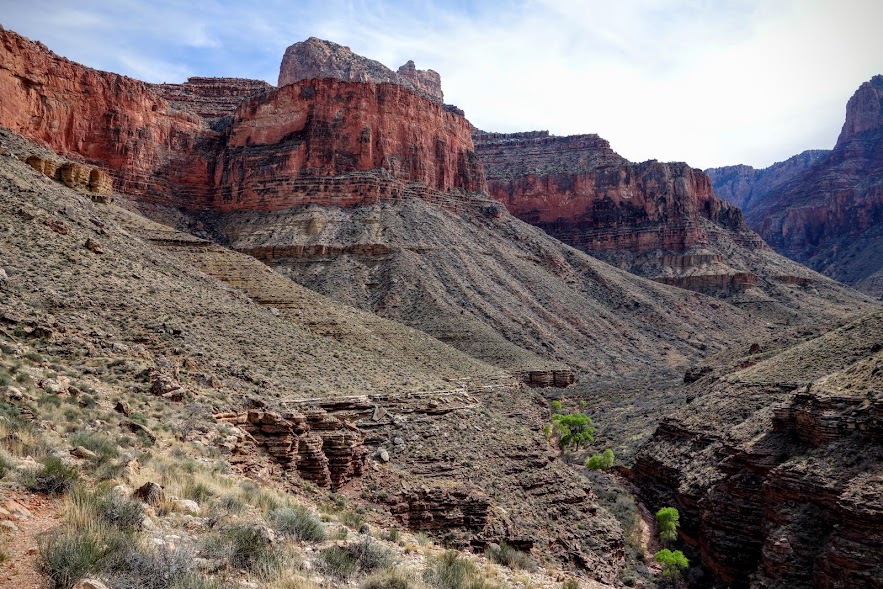
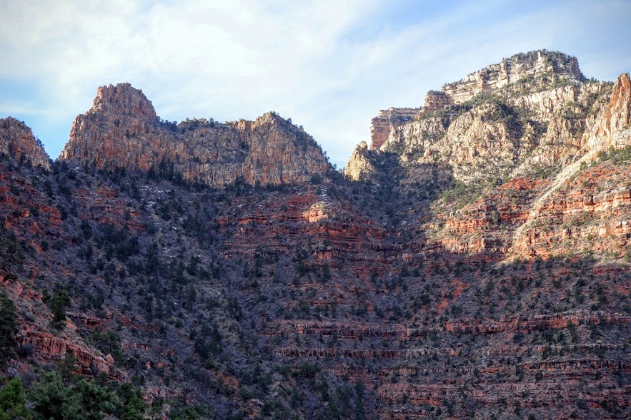
At 3pm I donned my microspikes and happily headed down the Grandview Trail. Although this is a well constructed switchback trail, the snow, ice, steep grade and rocky trail made for slow travel. My route included a circumnavigation of Horseshoe Mesa which is dead center in this photo.
First water source would be Cottonwood Creek (but not until Day 2 of this trip).
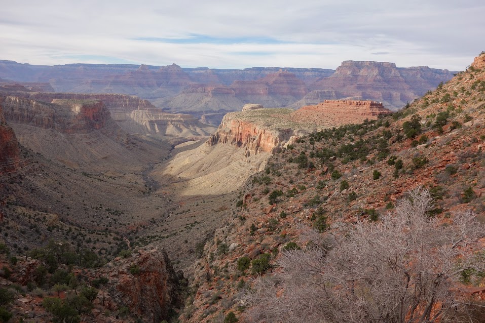
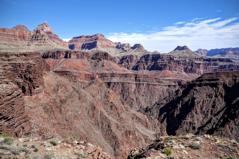
So much to keep my eyes busy. Hard to absorb so much beauty. Makes it hard to focus on your feet so sometimes I just sit and stare, slowly savoring each morsel.
My first night I camped in Zone BF5, which is just to the south of Horseshoe Mesa.
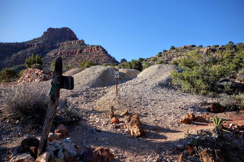
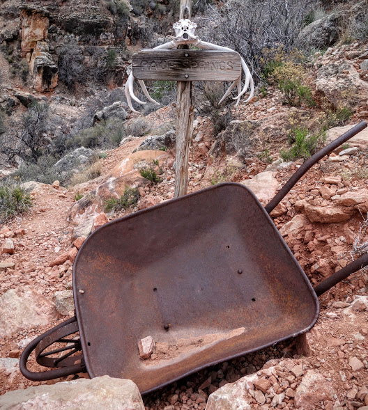
Grandview trail was originally built for travel to the Last Chance Mine. The sign for Miners/Page Springs is overshadowed by the one warning of radiation. With my time limitations, I didn’t have time to explore Horseshoe Mesa.
The remains of an old cabin marks the end of the Grandview trail and the junction for HorseShoe Mesa, Cottonwood Creek and Tonto East trails. I met one solo and a team of two hikers between this junction and the creek, otherwise except for the first 1/4 to 1/2 mile of trail I didn’t see anyone else this entire trip.
I headed east down the Cottonwood Creek Trail. If I were better prepared I would have GPS marked the Cave of the Domes.
Where there is water, there is color!
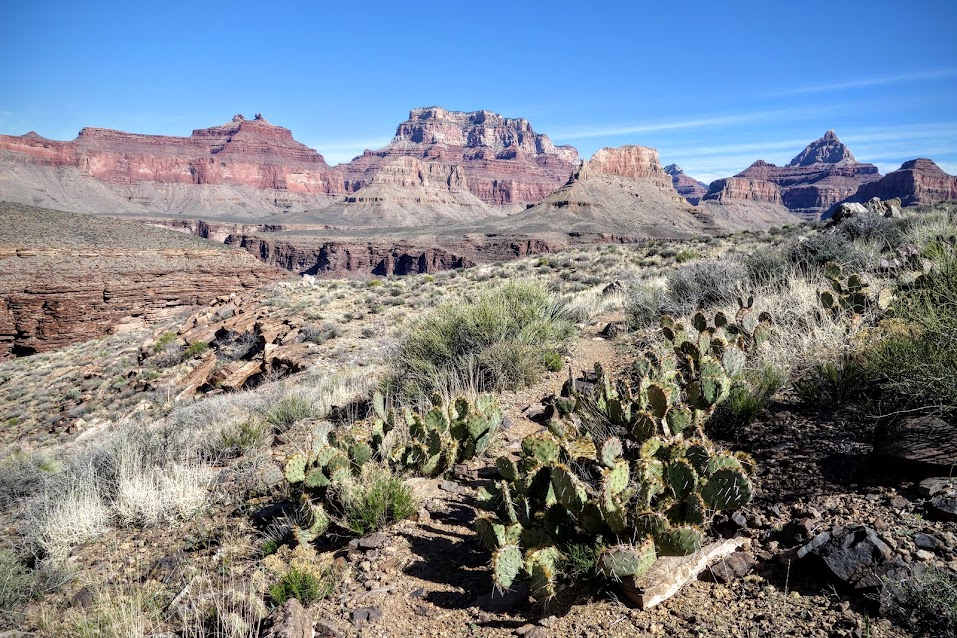
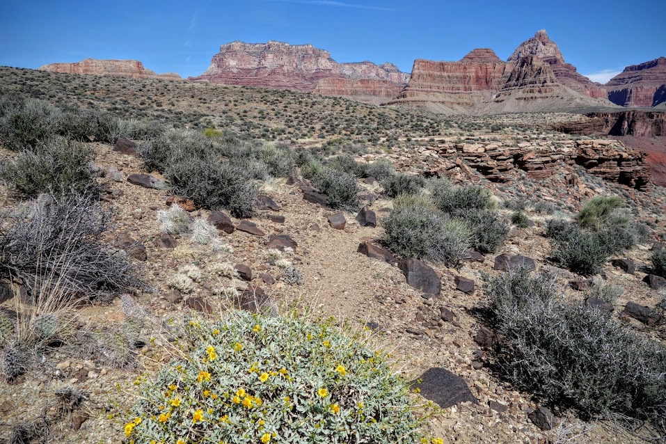
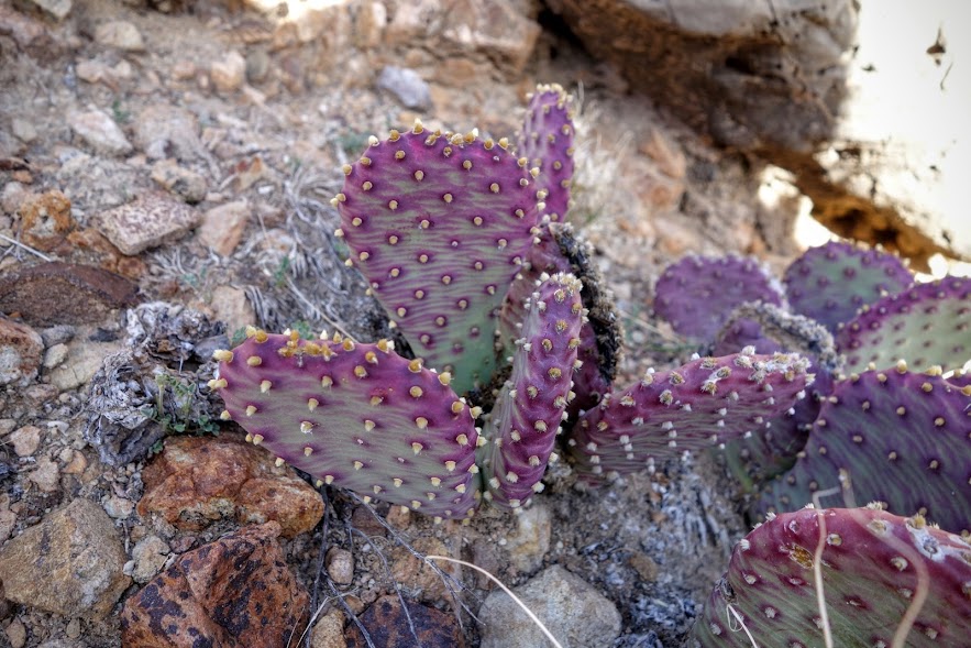
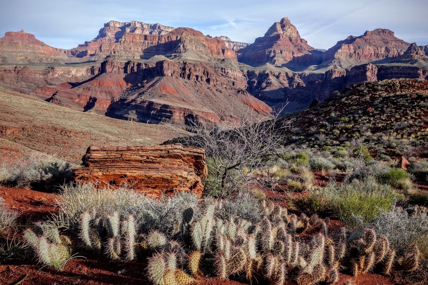
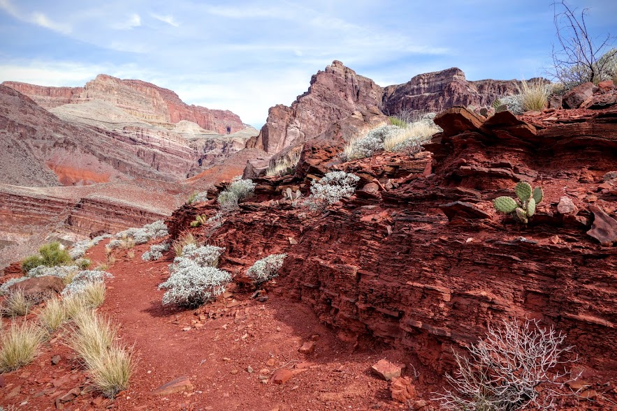
Transitioning from the Cottonwood Trail to the Tonto East Trail, I found myself in the land of cactus (or cacti?).
With cactus come Arizona Trail memories of the stickery prickeries.
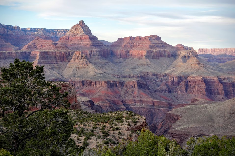
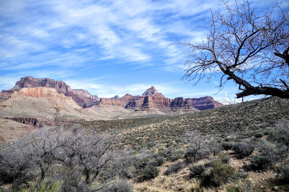
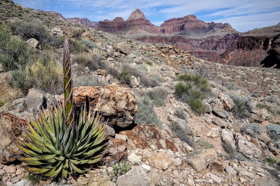
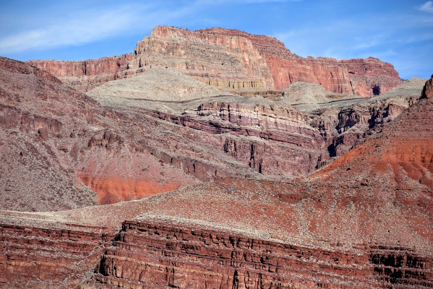
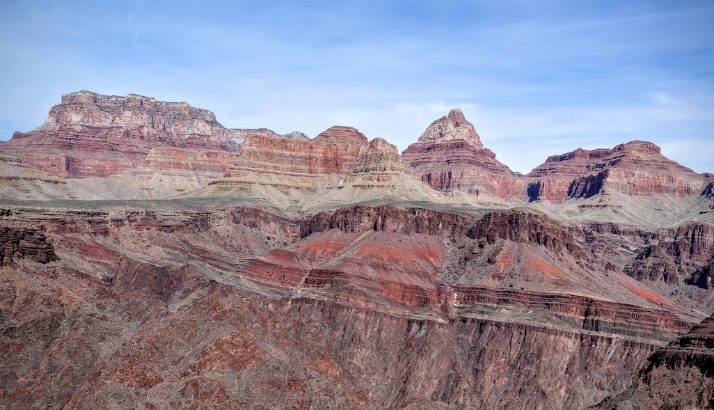
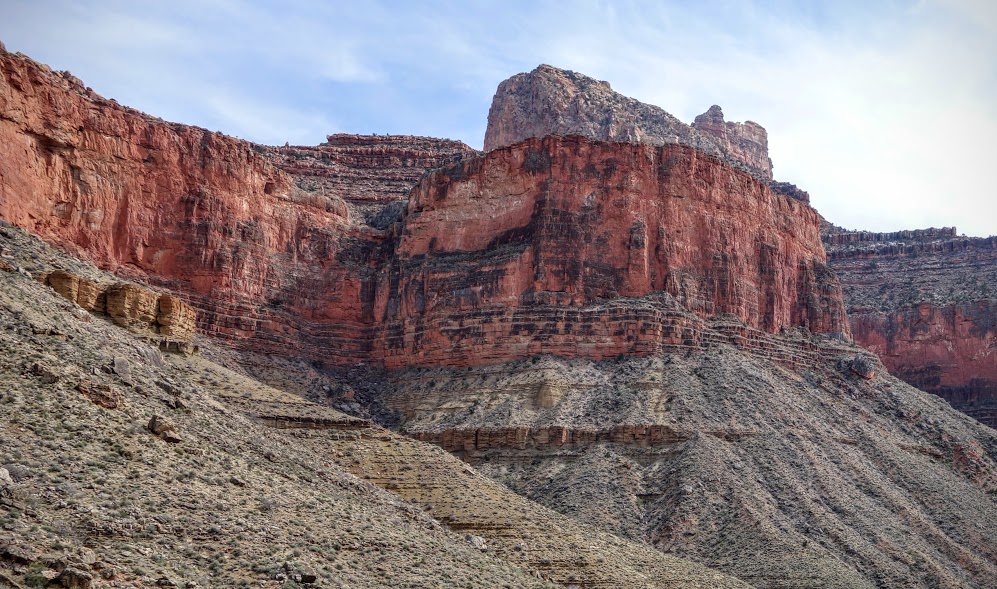
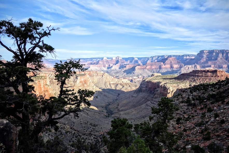
Another day to walk among the ancient ones and be in awe of these geologic formations.
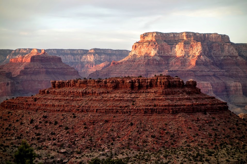
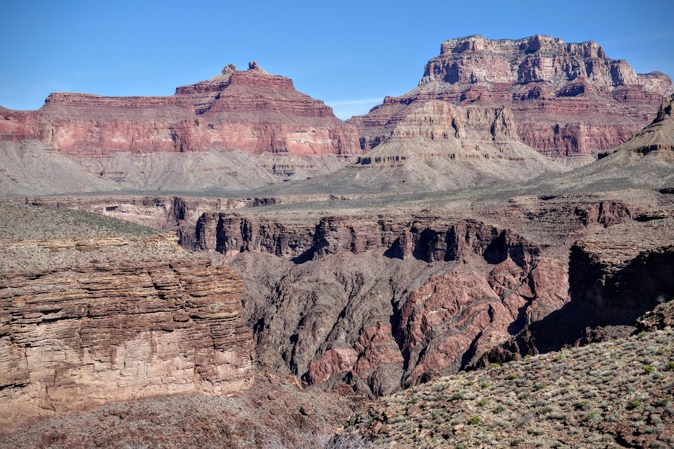
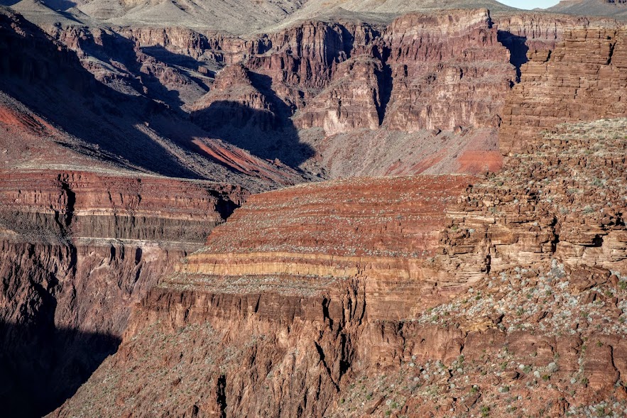
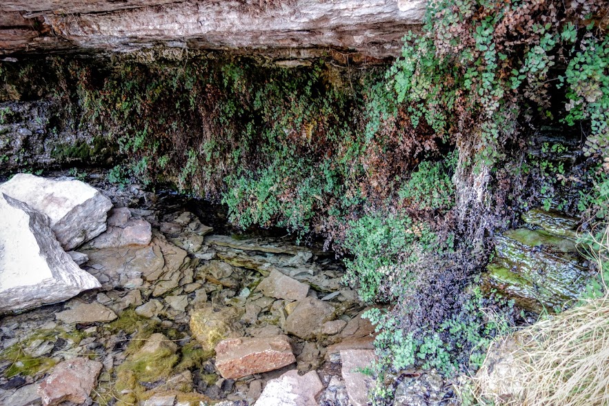
I believe this is the inside of Horseshoe Mesa.
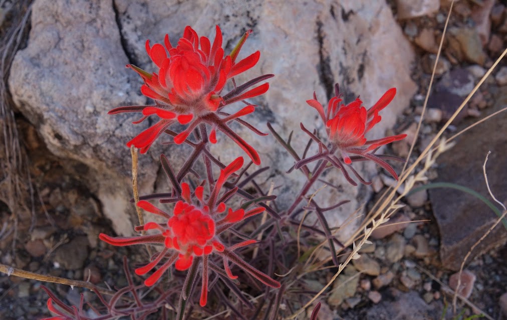
The rare pops of color grabbed my attention.
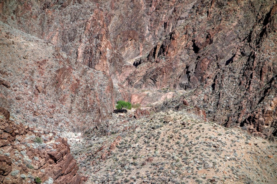
Usually the sight of bright green Cottonwood trees means nearby water.
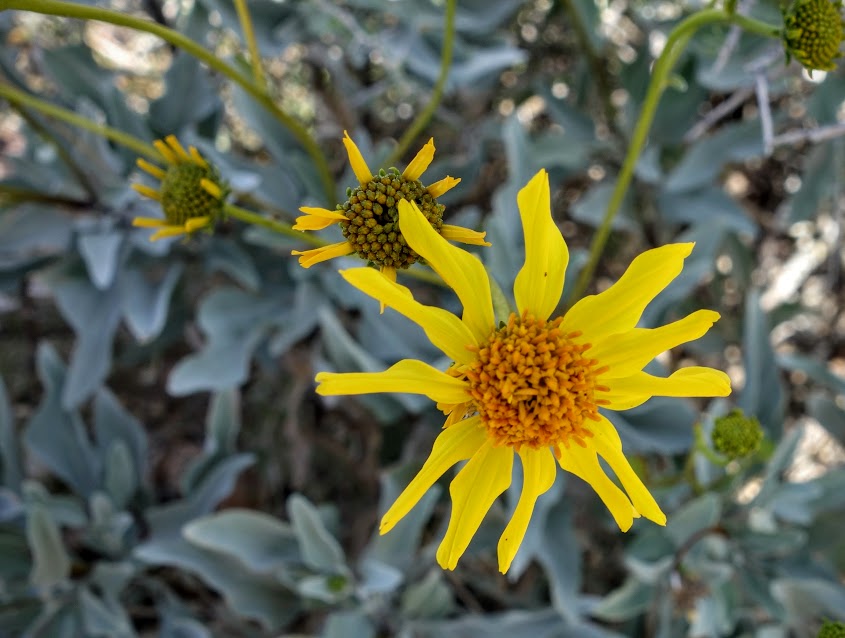
I was a little too early to enjoy yucca and cactus blooms.
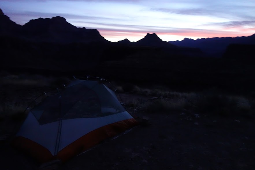
I camped in Zone BE9 along the Tonto East Trail my second night where I could catch a glimpse of and hear the Colorado River.
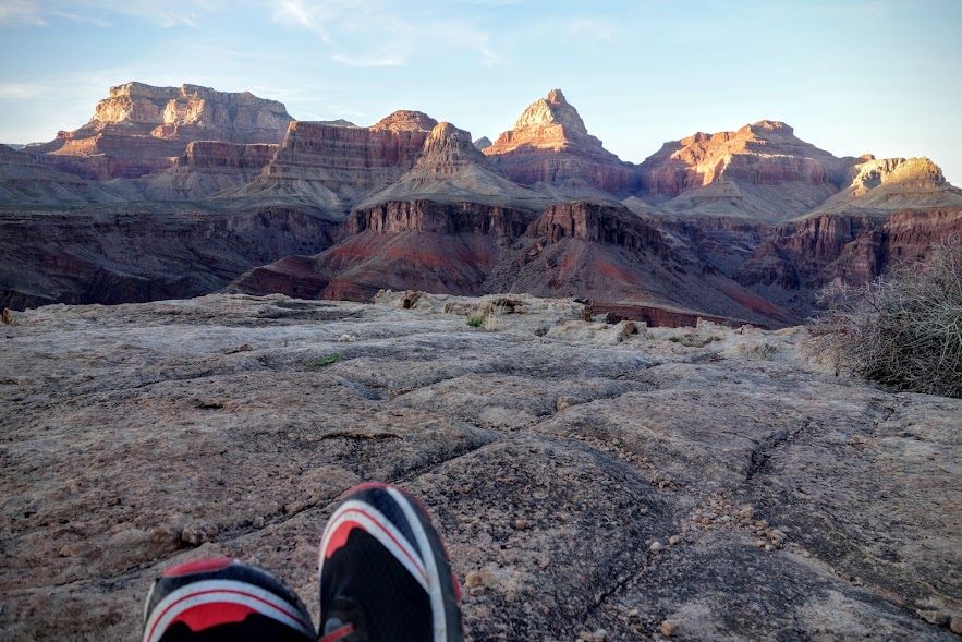
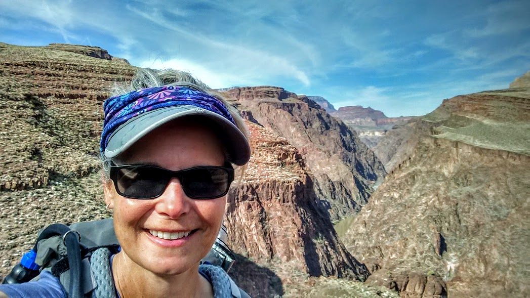
Morning views as I hiked down to the Hance Rapids overlook. I believe this is Ayer Point.
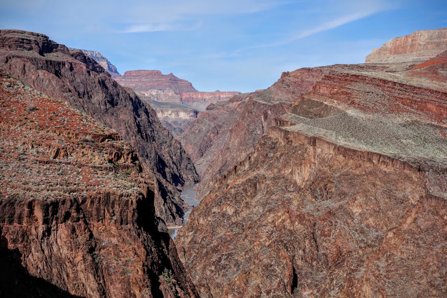
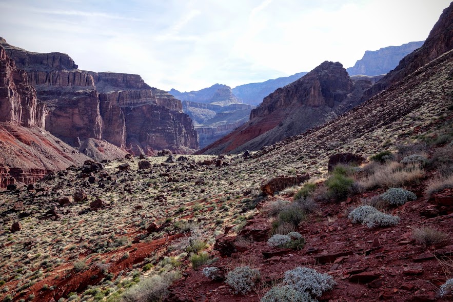
The trail continues, the pull is strong, but alas my time is short so I must turn around and save further exploration for another day.
I retraced my steps on the East Tonto Trail until the junction to Miners/Page Spring.
Hance Creek, another excellent source of water I used on Days 2 and 3 of this trip.
Where there’s water, there are . . .
It may be early March, and there may be snow on the rim, but down here in the canyon it’s hot and I was thankful for my umbrella.
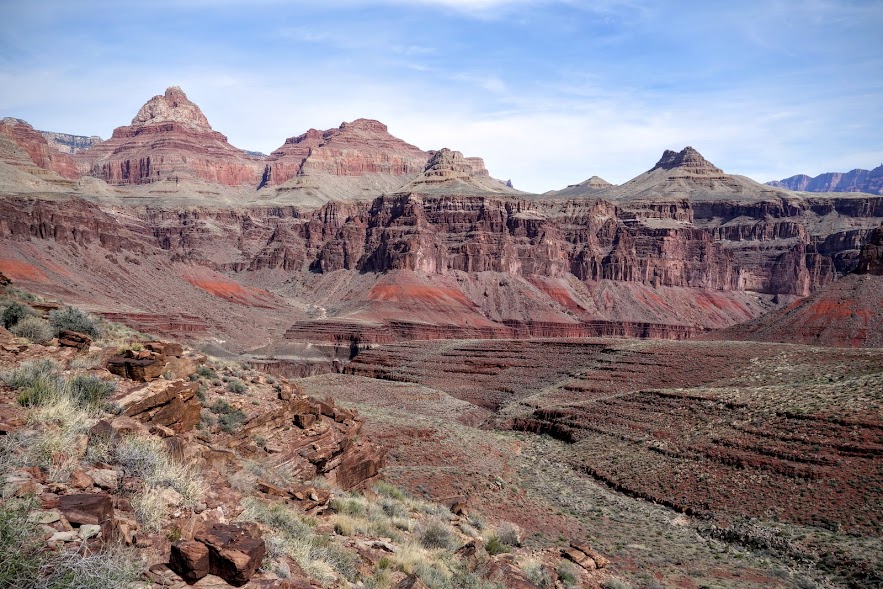
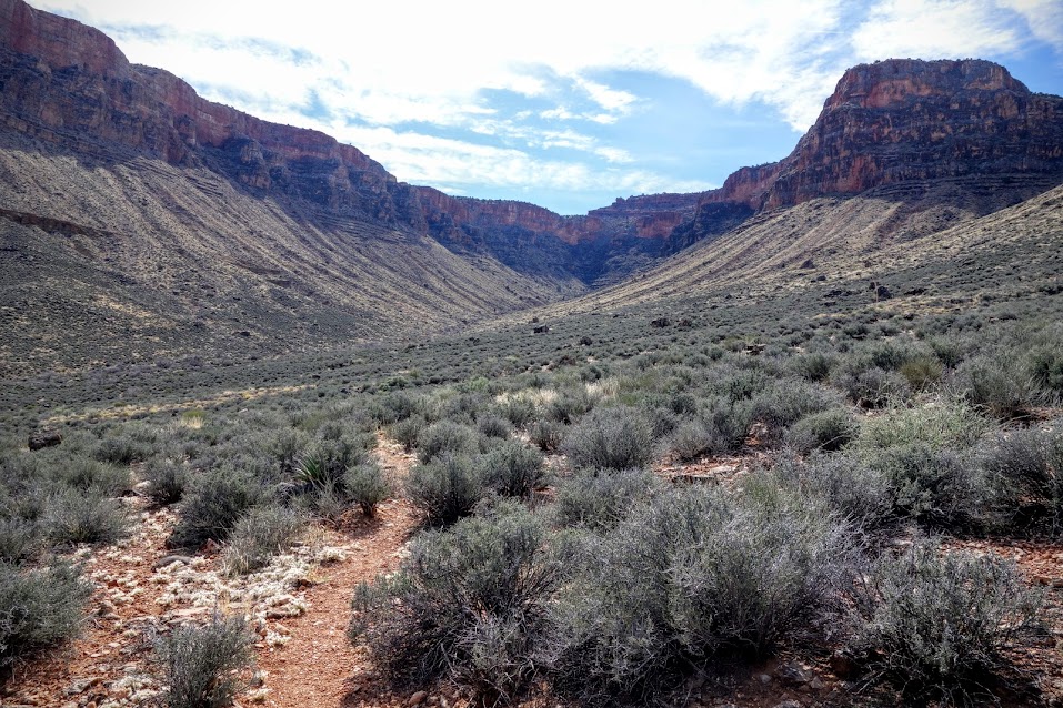
Horseshoe Mesa is top left, still a ways to go.
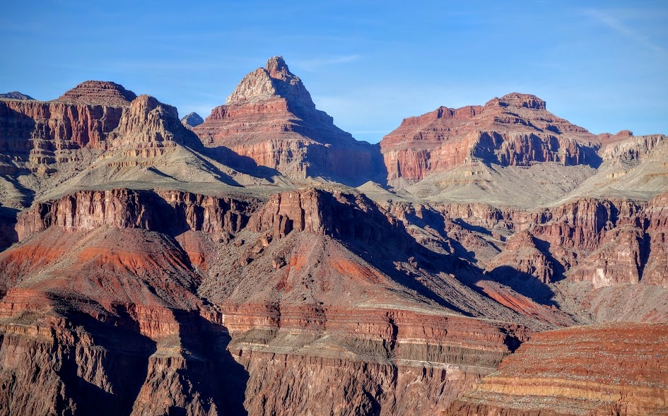
There’s so much variety in the canyon.
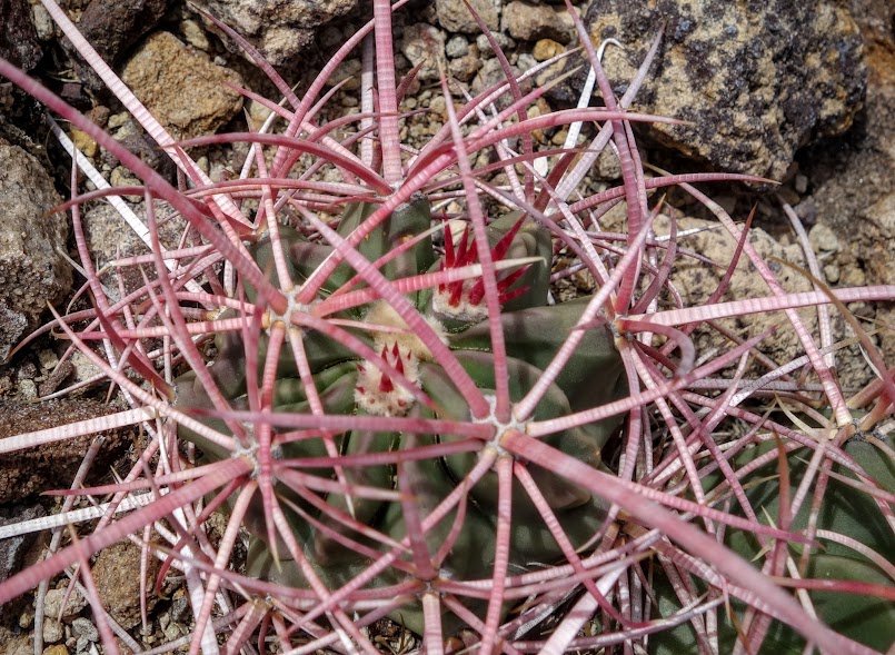
Baseball cactus are one of my favorites.
Are you contaminated? The map says Miners/Page Spring is the best water for those visiting Horseshoe Mesa. My permit says “while samples may exceed municipal water standards for arsenic, the dehydration threats from not drinking can be much more immediate and life threatening.” I drank it and lived to tell the story.
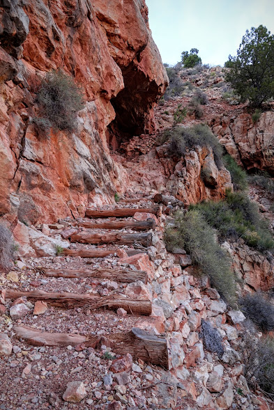
The climb up from Miners/Page Springs is rated DD (for doubly difficult?).
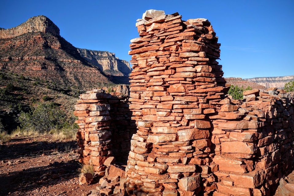
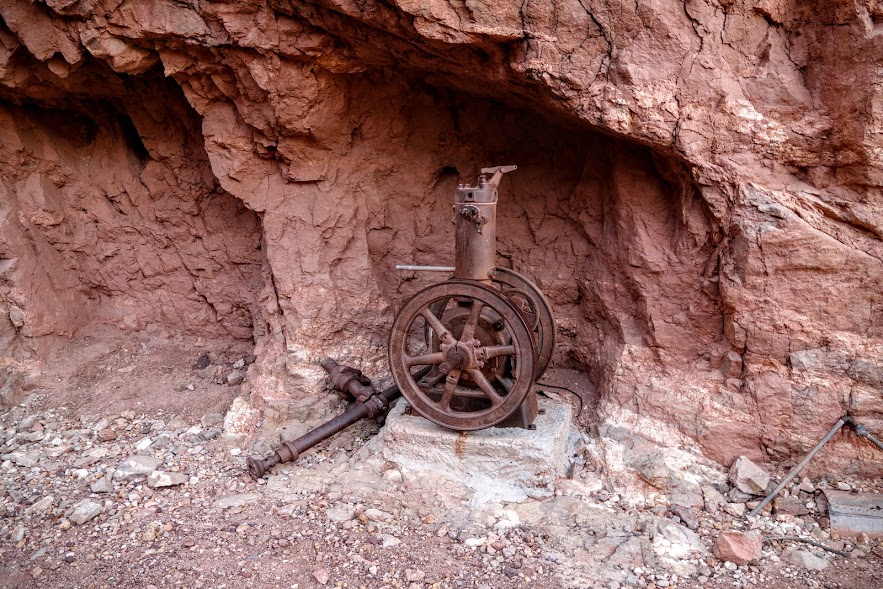
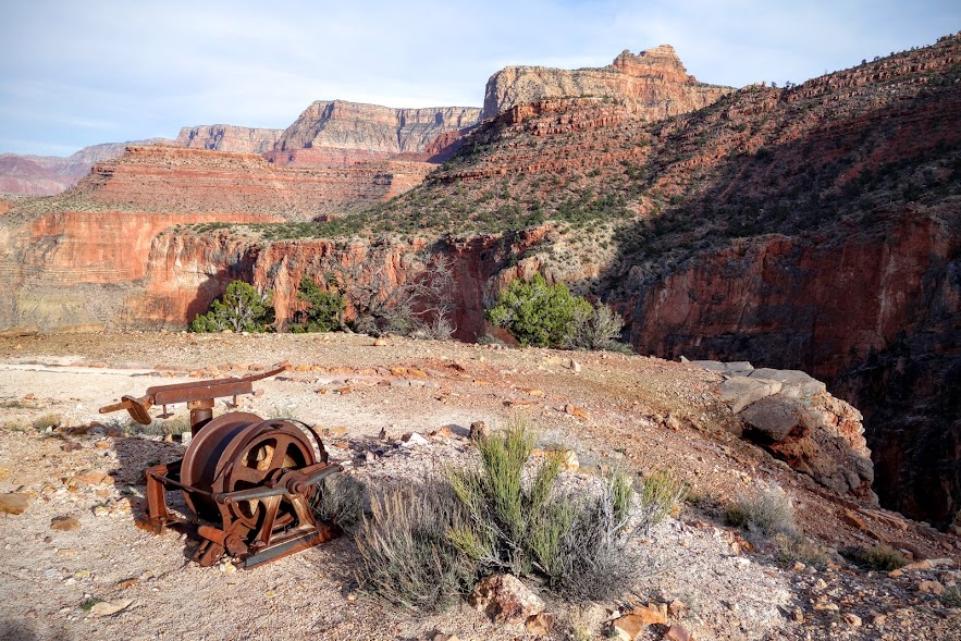
You can take a breather at Last Chance Mine while enjoying the relics and imagining this bygone era.
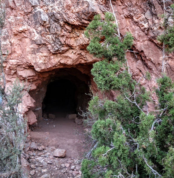
This shaft is closed to humans, open to bats.
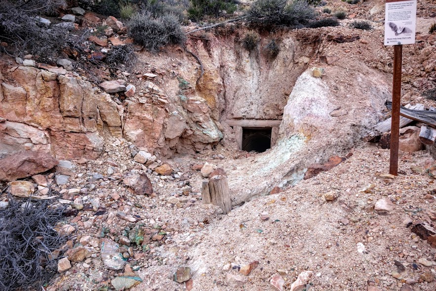
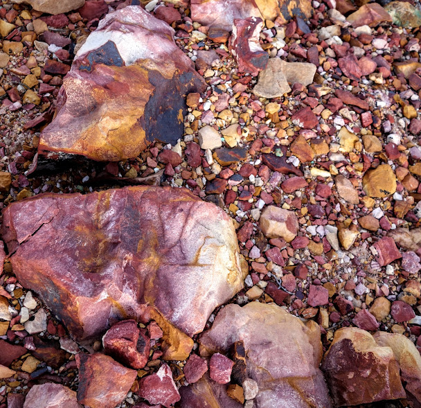
The rocks in this area where so colorful, maybe signs of the copper ore they mined?
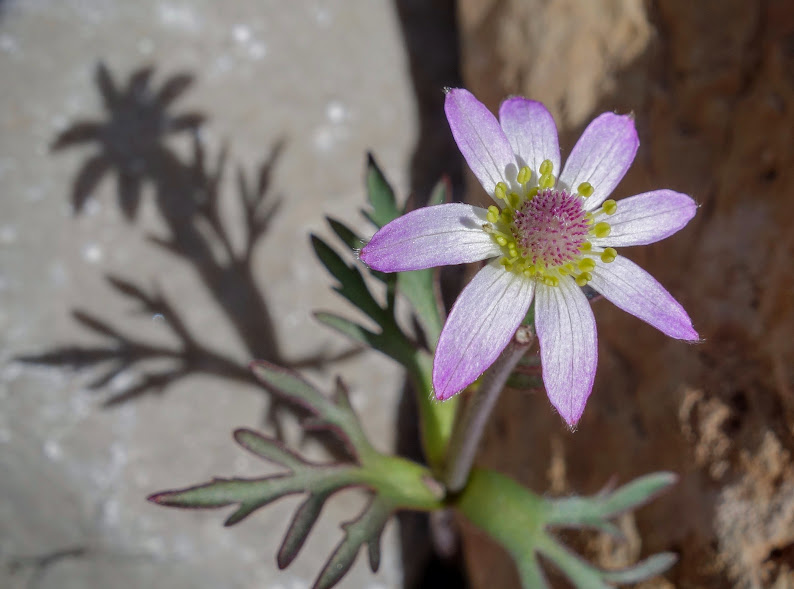
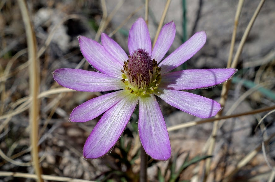
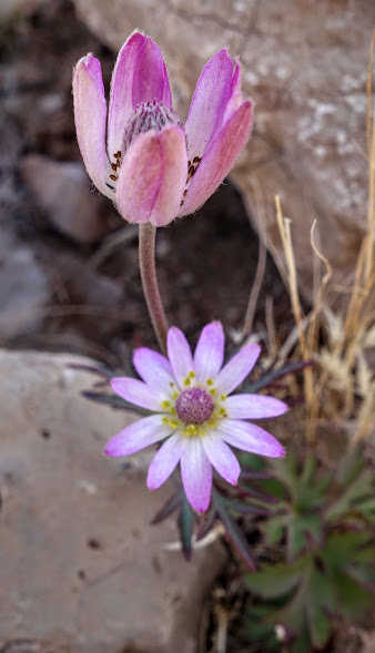
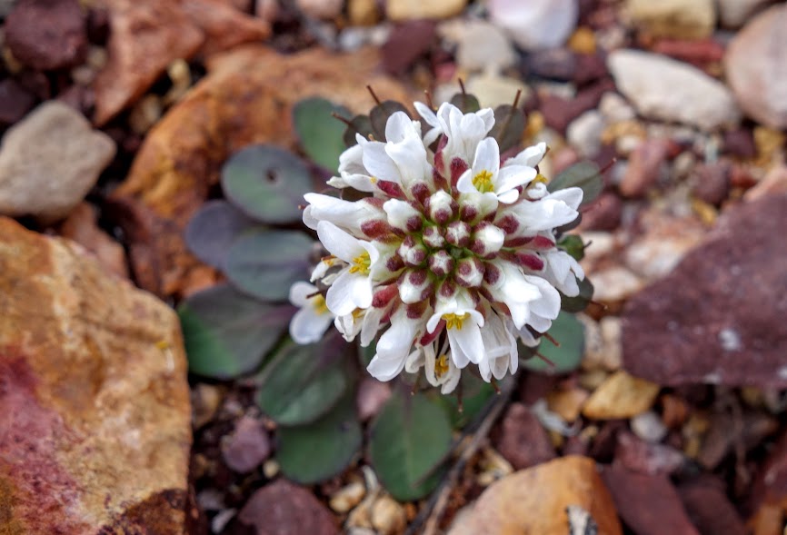
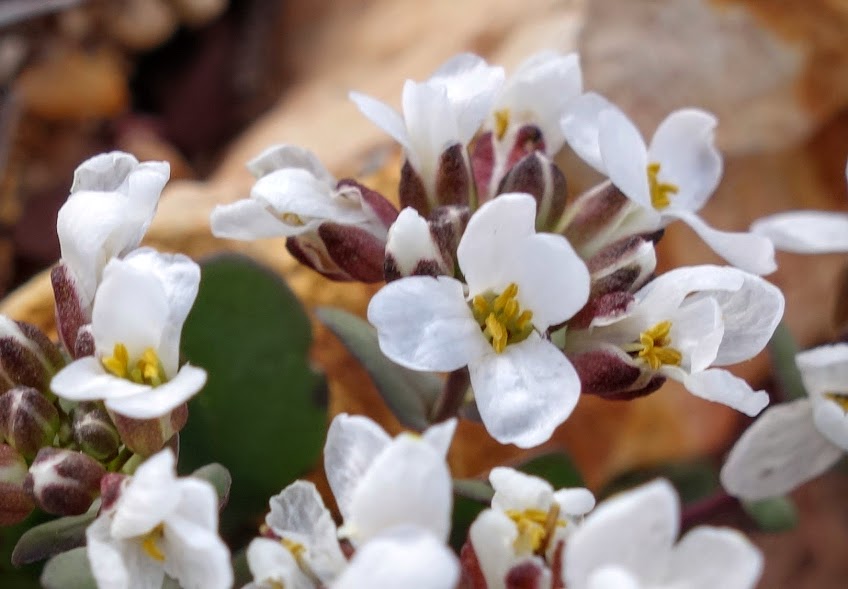
It’s always surprising to find flowers in such a dry and inhospitable habitat.
Destination is finally in sight. There a few patches of snow outlining the switchback trail rising to the rim.
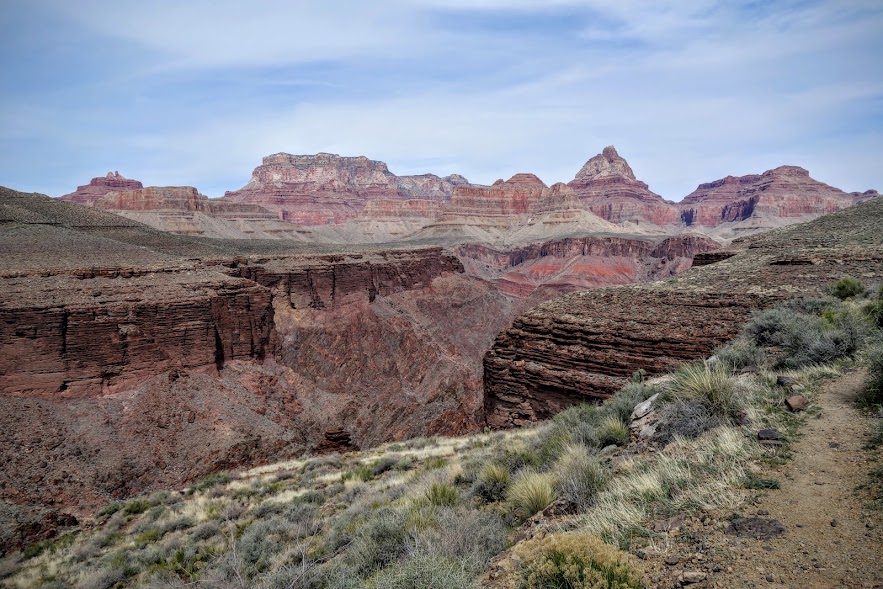
Goodbye to Horseshoe Mesa and Cottonwood Creek.
Date(s) Hiked: 3/1-4/16
Road Trip Day(s) #11-14
Jan’s Tips:
- If you like to plan on the fly like I do, then be prepared to be flexible in areas such as the Grand Canyon which have a quota permit system. I’ve rarely been disappointed in my options and experiences. Most have walk-up permits. Ask about permission to camp outside your permitted zone.
- The Grand Canyon is known for the wide fluctuation of temperature between the rim and the river. During this early March trip, it was quite chilly with snow on the rim and uncomfortably warm in the canyon. I was glad I packed my puffy, microspikes (although they can be treacherous on the rocky sections of trail), and umbrella. My overnight temps were 40-50F. I also experienced intermittent windy conditions.
- My notes indicate the trail was steep (not nice to those with cranky knees) with technical footing in sections. There are several sections rated D and one rated DD.
- The trail was easy to navigate with signage at all junctions.
- In peak season, the Grandview Trail can be quite busy with Horseshoe Mesa a destination camping location. I found some issues with LNT (and yes I carried this fuel canister and sardine cans out).
- According to my app this was about a 26-mile, 10,000′ elevation/gain loss trip. The green line represents my route. If you have more time, there are plenty of options especially if you can plan for a shuttle or hitch.
- My friend Sirena spends significant time in the Grand Canyon and is in the process of section hiking the entire thing. Her blog, Sirena’s Wanderings, is a great resource with incredible photography.


Resources:
- Grand Canyon NPS – Website
- Grand Canyon NPS – Backcountry Hiking
- Grand Canyon NPS – Backcountry Permits
- Grand Canyon Map – by Sky Terrain
- Grand Canyon Maps – South Rim – by National Geographic
- Grand Canyon Maps – North & South, East, West – by National Geographic (my next purchase)

Pingback: AZ – Grand Canyon, North Kaibab Trail (AZT Passage 38) – Jan's Jaunts and Jabberings