With the big solar eclipse date just around the corner, it took careful planning to ensure I would enjoy Titcomb Basin sans the crowds. It tends to be just as popular as Cirque of the Towers.
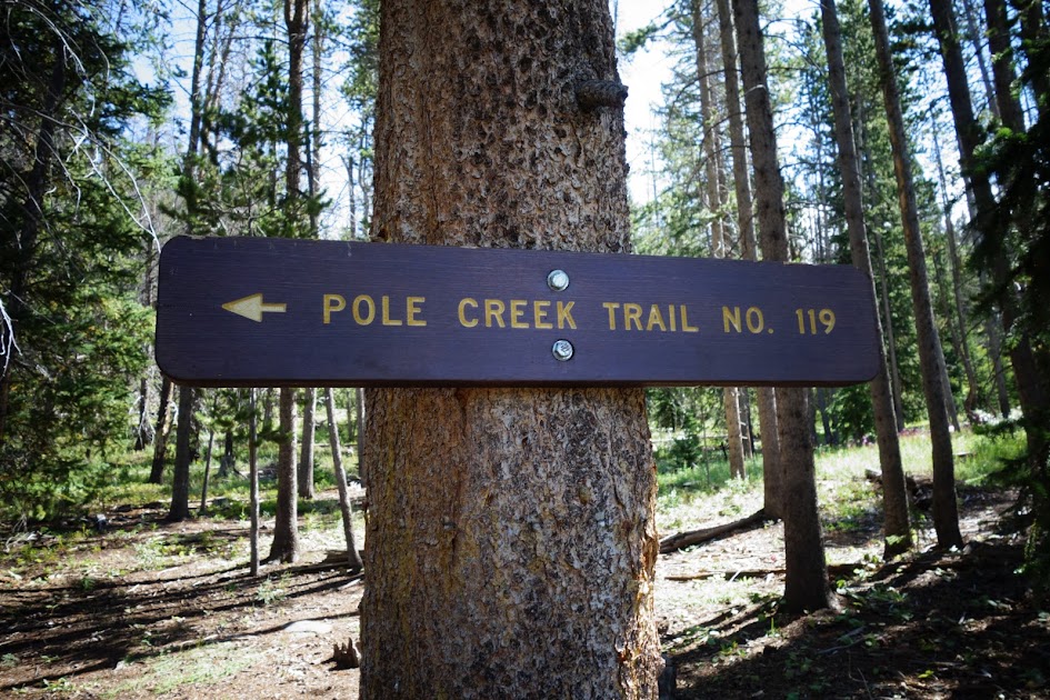
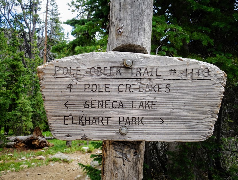
This hike began at the Elkhart Trailhead near Pinedale and initially followed the Pole Creek Trail #119, a very dusty well worn trail. Don’t count on finding water on this stretch.
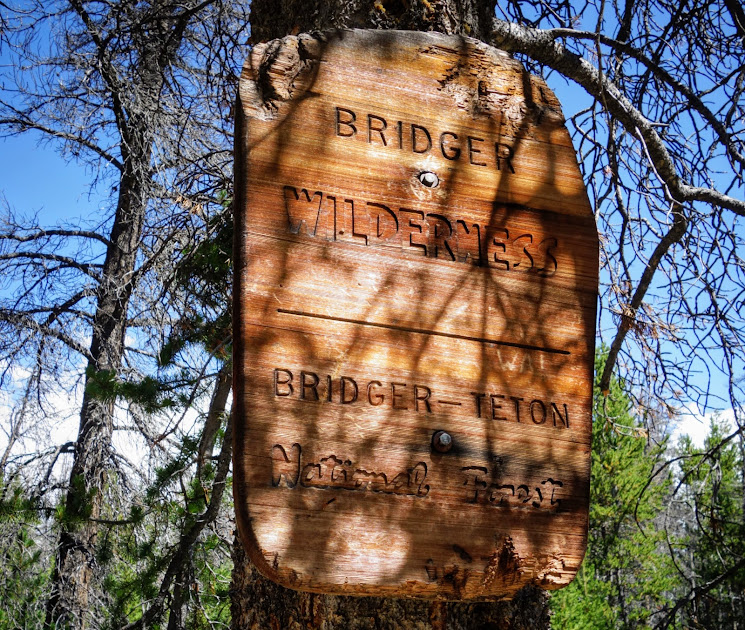
You cross into the wilderness quite quickly.
At the first junction, I followed the trail toward Eklund Lake.

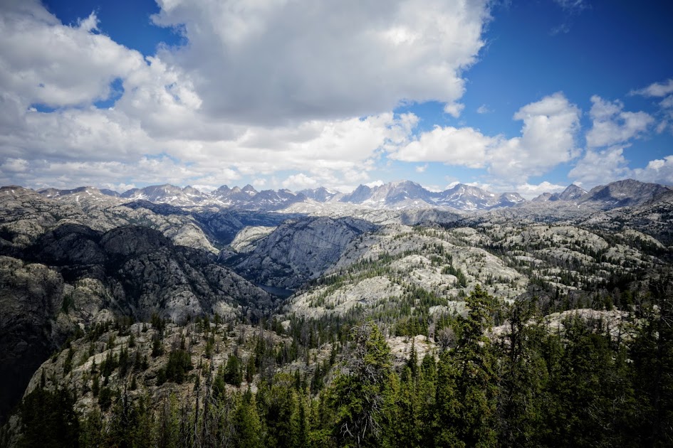
I stopped at Photographers Point for the mandatory photo.
At the next junction, I took the Seneca Lake Trail #123.
Hobbs Lake.

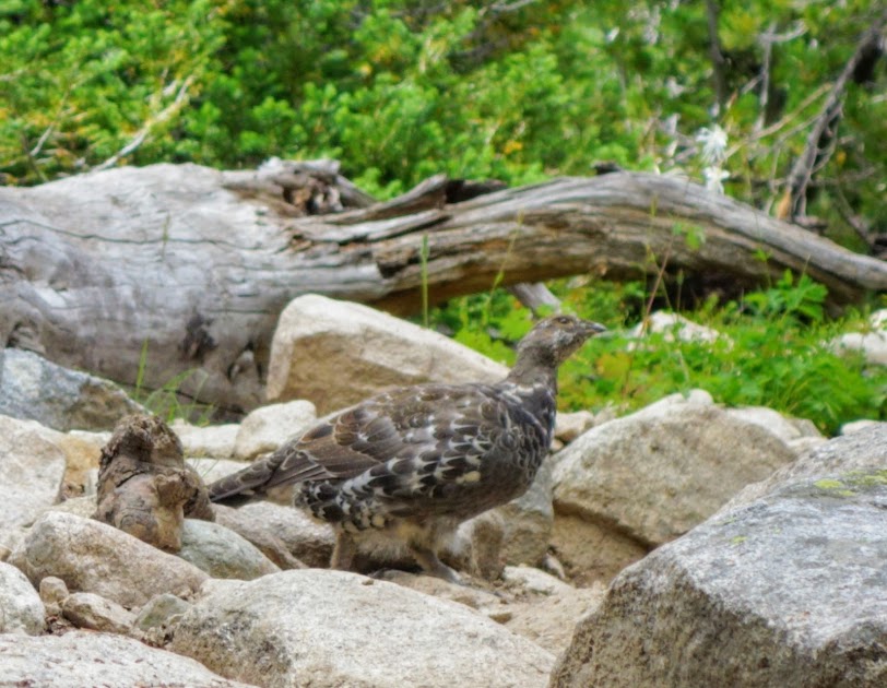
This female grouse decided she was up for a photo.
Seneca Lake.
It started raining soon after I passed Seneca Lake. I quickly tucked into this protected campsite near Little Seneca Lake, which incidentally I had to myself for the night.
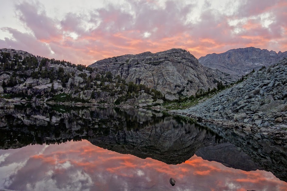
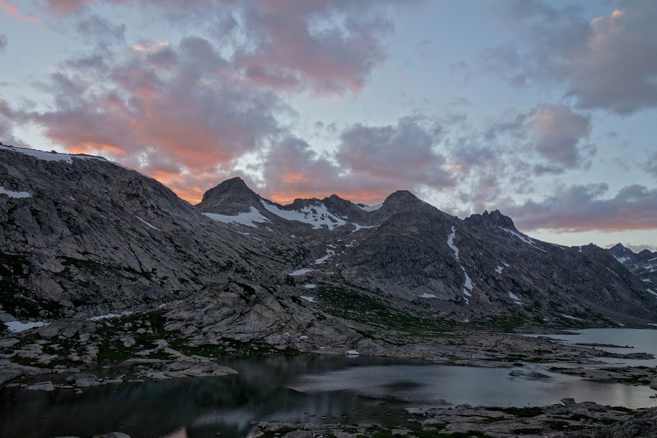
The next morning I was treated to this colorful sunrise at Little Seneca Lake.
At this junction, I followed the trail toward Island Lake.

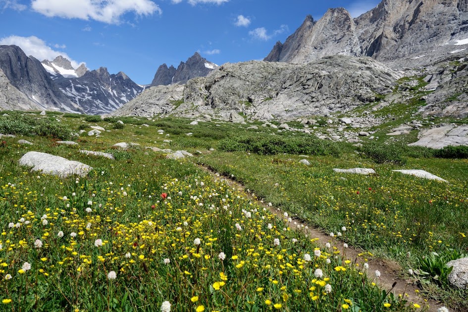
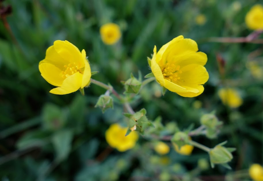
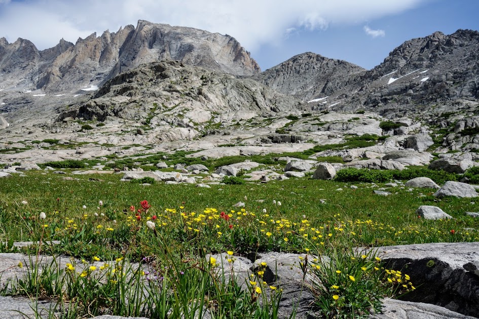
Buttercups were prevalent throughout this trip.
If you want to camp at Island Lake, plan on plenty of company unless you venture far away from the trail.
I brought hard boiled eggs with me for three days of lunches, such a nice change from cheese and/or salami.

At the Indian Pass Trail Junction, I stayed on the main trail (not noted on this sign) following Titcomb Basin Trail #160.

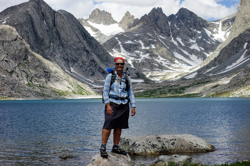
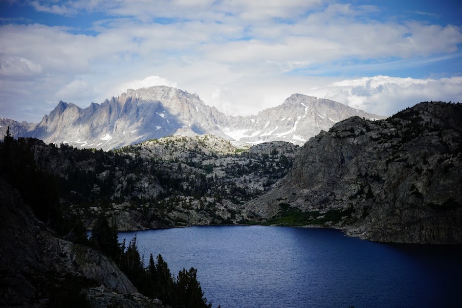
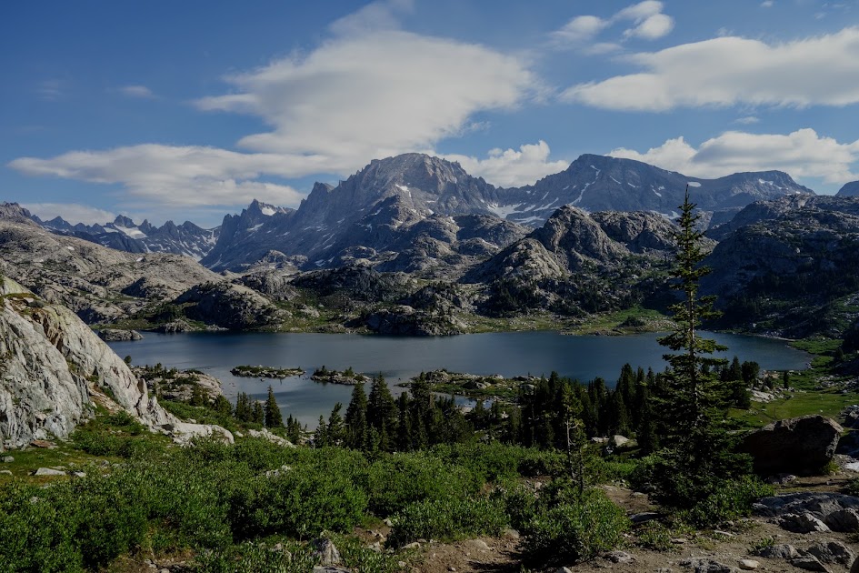
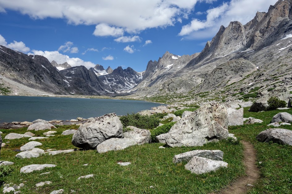
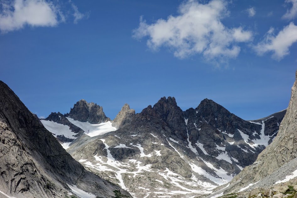
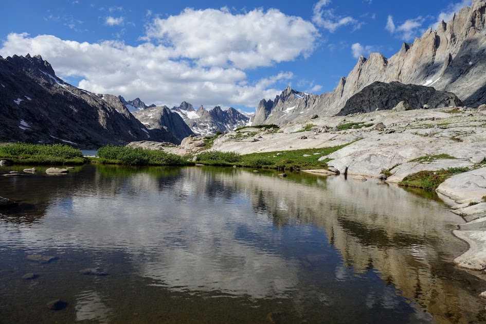
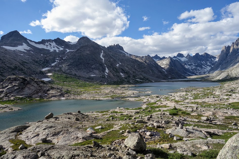
Titcomb Basin.
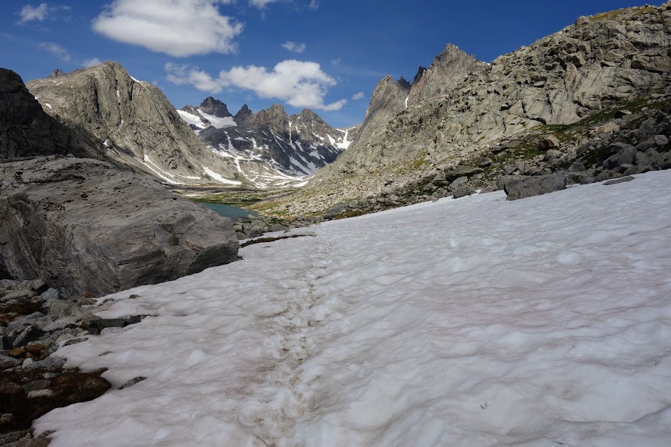
I’d considered camping at the basin terminus and really wanted a closer look at Knapsack Col but the chilly wind had me turning around toward the end of the last lake.
There were still some snow fields around to traverse.

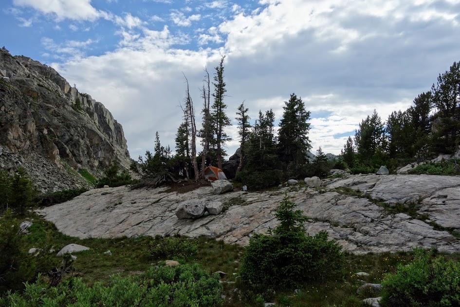
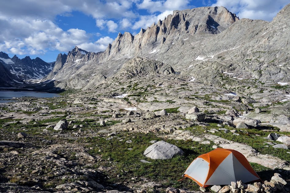
There are plenty of camping options away from the crowds in Titcomb Basin. This was my private spot for the night.
My campsite view.
To be continued . . .
Hike Details:
- Date(s) Hiked: 8/16-17/17
- Mileage: Approximately 18-20 (conserving battery so didn’t track)
- Elevation Gain/Loss: Unknown, constant up and down (conserving battery so didn’t track)
- Trail Conditions:
- Tree obstacles: none
- Overgrowth: none
- Signage: moderate on main trails
- Terrain: lots of muck primarily from excessive pack animal use; also rocky ground
- Water: plentiful (except for initial 6ish miles)
- Camping: excellent
- Solitude: Expect lots of company on trail. Many day hike from the trailhead to Photographers Point, many base camp at Seneca Lake or Island Lake and day hike to Titcomb Basin. There are however plenty of places to find solitude off trail.
- Bugs: plentiful but I didn’t use any repellent this trip
- Wildlife Sightings: none beyond birds, squirrels, chipmunks, pika, and marmuts
- Precip: I had a little rain my first and last day of this trip
- Temp: Overnight varied and seemed to fluctuate a lot in the 30’s and 40’s, highs were probably in 60’s-70’s.
- Jan’s Cherry Picker Delight Scale: 4++ cherries (out of 5)
Tips:
- Be prepared for altitude, elevation changes, weather changes, bugs and navigation. Also review current food protection requirements/guidelines (I used an Ursack with an Opsack liner). If I were to hike this loop again, I’d use my bear canister as in many areas there were no trees to use as an anchor for my Ursack.
Links:
Resources:
- Bridger Teton National Forest, Bridger Wilderness
- Nancy Pallister’s book, Beyond Trails in the Wind River Mountains of Wyoming
- Ron Adkison’s book, Hiking Wyoming’s Wind River Range
- Beartooth Publishing Wind River Range North Outdoor Recreation Map